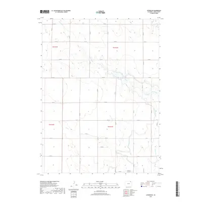
2019 Map of Atwood NE
USGS Topo · Published 2019About this map
The North Sterling Canal winds through this Logan County landscape, illustrating the critical role of water management in northeastern Colorado’s agricultural history. This survey captures a rural expanse defined by section-line roads and seasonal waterways like Sand Creek and Springdale Creek. The presence of the Pawnee Ditch and Springdale Spring highlights the enduring importance of localized irrigation and natural water sources for maintaining the viability of the high plains.
Find a feature on this map
37 named features on this map. Tap any name to fly to it.
Don’t see what you’re looking for? This feature index may not catch every label — zoom into the map to look around manually.
Map Details
Editions of this 2019 Atwood NE Map
This is the sole edition of this map. No revisions or reprints were ever made.
Other maps of this area

1951 · Willard
USGS Topo · 1:24,000

1951 · Sterling South
USGS Topo · 1:24,000

1951 · Sterling North
USGS Topo · 1:24,000

1951 · Wild Horse Lake
USGS Topo · 1:24,000

1951 · Atwood NE
USGS Topo · 1:24,000

1951 · Atwood
USGS Topo · 1:24,000

1952 · Padroni
USGS Topo · 1:24,000

1954 · Sterling
USGS Topo · 1:250,000

1958 · Sterling
USGS Topo · 1:250,000
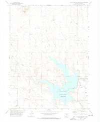
1978 · North Sterling Reservoir
USGS Topo · 1:24,000