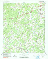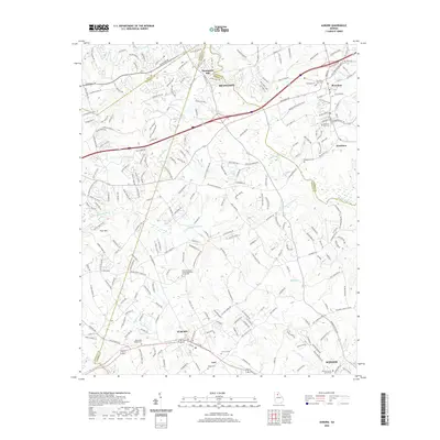
1993 Map of Auburn
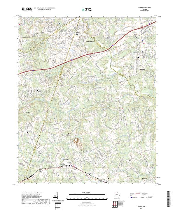
USGS Topo · Published 1993About this map
The Mulberry River and its numerous tributaries, including Duncan Creek and the Little Mulberry River, define the rural landscape across the borders of Gwinnett, Barrow, Jackson, and Hall counties. In the early 1990s, the southern portion of the quadrangle is anchored by the growing settlements of Auburn and Carl, where the Seaboard System railroad runs parallel to the Bankhead Hwy. This corridor serves as a historical transit spine, dotted with community landmarks like Auburn Park Chapel and the Auburn Cem.
Find a feature on this map
87 named features on this map. Tap any name to fly to it.
Don’t see what you’re looking for? This feature index may not catch every label — zoom into the map to look around manually.
Map Details
Editions of this 1993 Auburn Map
This is the sole edition of this map. No revisions or reprints were ever made.
Historical Maps of Winder Through Time
7 maps found