
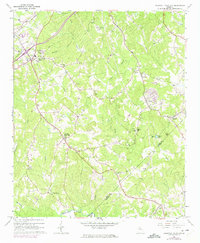
1964 Map of Chestnut Mountain
USGS Topo · Published 1965About this map
Chestnut Mountain rises as a central landmark in this mid-1960s portrait of rural Hall County, where agricultural patterns meet the growing influence of the Southern Railway corridor. The landscape is defined by the winding paths of Walnut Creek and Candler Creek, which carve through the terrain toward the southern boundary along Mulberry Creek. Local life at this time centered on a network of country churches and schools, such as Redwine Ch and South Hall Sch, alongside small-scale industry represented by the Quarry near Klondike and the historical site of Tanner Mill.
Find a feature on this map
39 named features on this map. Tap any name to fly to it.
Don’t see what you’re looking for? This feature index may not catch every label — zoom into the map to look around manually.
Map Details
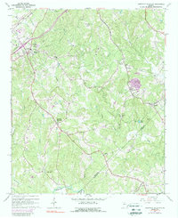
Editions of this 1964 Chestnut Mountain Map
3 editions found
Other maps of this area

1891 · Gainesville
USGS Topo · 1:125,000

1954 · Greenville
USGS Topo · 1:250,000

1958 · Greenville
USGS Topo · 1:250,000

1964 · Hog Mountain
USGS Topo · 1:24,000
1964 · Winder North
USGS Topo · 1:24,000
1964 · Auburn
USGS Topo · 1:24,000

1964 · Gainesville
USGS Topo · 1:24,000
1964 · Chestatee
USGS Topo · 1:24,000

1964 · Pendergrass
USGS Topo · 1:24,000
1964 · Flowery Branch
USGS Topo · 1:24,000