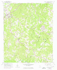
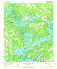
1964 Map of Chestnut Mountain
USGS Topo · Published 1975About this map
Walnut Creek and its many tributaries, including Caney Fork Creek and Deaton Creek, define this rural portion of the Georgia Piedmont as it transitioned in the mid-1960s. The landscape is dotted with small communities and centers of local life, from the industrial presence at Chicopee to the more dispersed settlements of Klondike and Chestnut Mountain. Notable for genealogists are the numerous rural congregations and burial grounds, such as Redwine Ch, Poplar Springs Ch, and Martin Cem.
Find a feature on this map
47 named features on this map. Tap any name to fly to it.
Don’t see what you’re looking for? This feature index may not catch every label — zoom into the map to look around manually.
Map Details
Editions of this 1964 Chestnut Mountain Map
3 editions found
Other maps of this area

1891 · Gainesville
USGS Topo · 1:125,000

1954 · Greenville
USGS Topo · 1:250,000

1958 · Greenville
USGS Topo · 1:250,000

1964 · Hog Mountain
USGS Topo · 1:24,000

1964 · Chestnut Mountain
USGS Topo · 1:24,000
1964 · Winder North
USGS Topo · 1:24,000
1964 · Auburn
USGS Topo · 1:24,000

1964 · Gainesville
USGS Topo · 1:24,000
1964 · Chestatee
USGS Topo · 1:24,000

1964 · Pendergrass
USGS Topo · 1:24,000