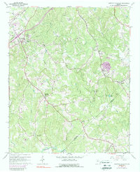
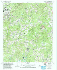
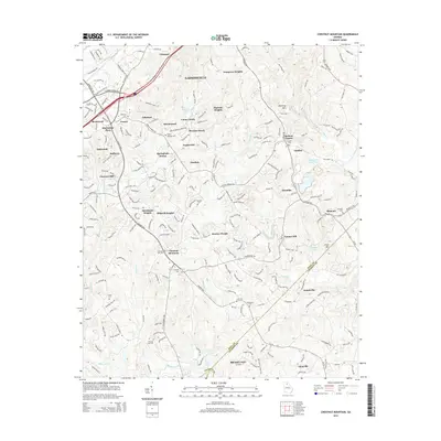
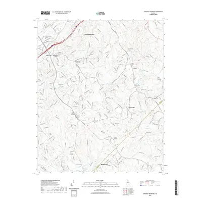
1964 Map of Chestnut Mountain
USGS Topo · Published 1988About this map
The Mulberry River and its numerous tributaries, including Mulberry Creek and Walnut Creek, define this rural Piedmont landscape in the early 1960s. The area shows a transition from traditional agrarian life toward industrial and institutional development, evidenced by the County Public Works Camp and the 9th District Forest Headquarters. Local commerce and community life center around scattered nodes such as Chicopee, Klondike, and Chestnut Mountain. The map records significant early transportation infrastructure, with the Southern and Seaboard Coast Line railroads cutting through the terrain. Numerous small landmarks essential for family history researchers are preserved here, including the South Hall School, Tanner Mill, and several country houses of worship like Bethelene Church and Hopewell Church. This period captures the region just before the major suburban expansion of the late 20th century.
Find a feature on this map
41 named features on this map. Tap any name to fly to it.
Don’t see what you’re looking for? This feature index may not catch every label — zoom into the map to look around manually.
Map Details
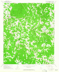
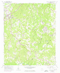
Editions of this 1964 Chestnut Mountain Map
3 editions found
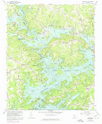
Historical Maps of Gainesville Through Time
13 maps found
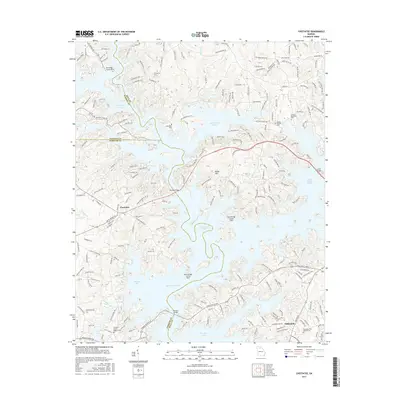
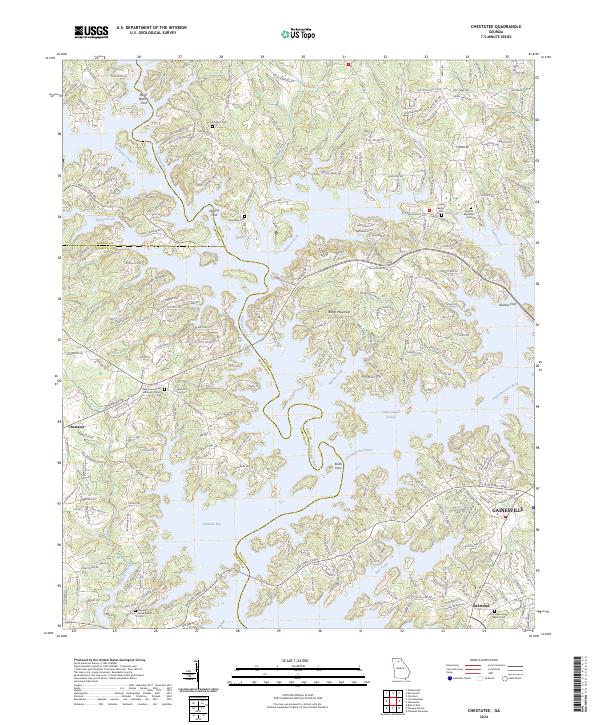
1964 Chestatee
Hall County, GA
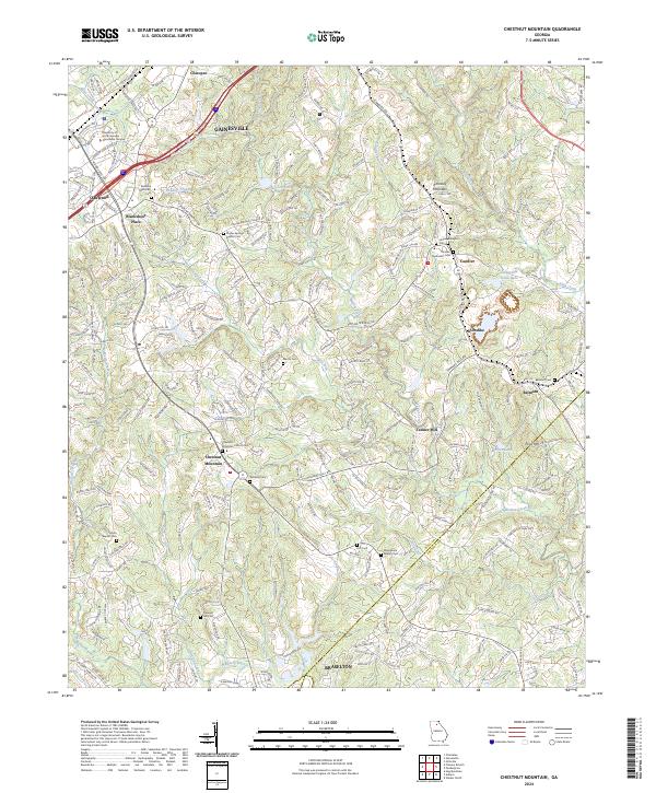
1964 Chestnut Mountain
Hall County, GA
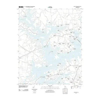
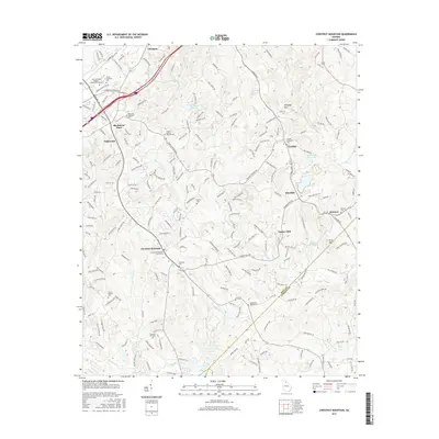
1992 Chestnut Mountain
Hall County, GA
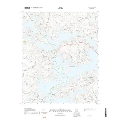
2011 Chestatee
Hall County, GA
2011 Chestnut Mountain
Hall County, GA
2014 Chestatee
Hall County, GA
2014 Chestnut Mountain
Hall County, GA
2017 Chestatee
Hall County, GA
2017 Chestnut Mountain
Hall County, GA
2020 Chestatee
Hall County, GA
2020 Chestnut Mountain
Hall County, GA
2024 Chestatee
Hall County, GA
2024 Chestnut Mountain
Hall County, GA