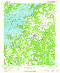
1964 Map of Flowery Branch
USGS Topo · Published 1965About this map
Lake Sidney Lanier dominates the landscape of this mid-1960s survey, its creation by the U.S. Corps of Engineers having reshaped the geography of Hall, Gwinnett, and Forsyth Counties. The map captures a moment when the shoreline was becoming a hub for recreation, evidenced by the numerous access points and marinas such as Snug Harbor Marina and the University Yacht Club. The Southern railroad line runs parallel to the developing corridor, connecting the settlements of Oakwood, Flowery Branch, and Buford. Local history is preserved in the placement of numerous rural institutions, including New Bethany Ch, Bethlehem Ch, and Friendship Ch. The presence of Spout Spring Crossroads and Roberts Crossroads indicates the persistent importance of early transportation nodes, while the submerged riverbed of the Chattahoochee River is still meticulously traced beneath the reservoir's waters.
Find a feature on this map
63 named features on this map. Tap any name to fly to it.
Don’t see what you’re looking for? This feature index may not catch every label — zoom into the map to look around manually.
Map Details
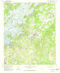
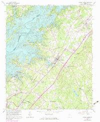
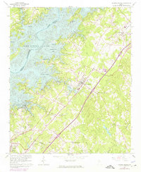
Editions of this 1964 Flowery Branch Map
4 editions found
Other maps of this area

1890 · Suwanee
USGS Topo · 1:125,000

1891 · Gainesville
USGS Topo · 1:125,000

1894 · Suwanee
USGS Topo · 1:125,000

1954 · Greenville
USGS Topo · 1:250,000

1955 · Rome
USGS Topo · 1:250,000

1958 · Greenville
USGS Topo · 1:250,000

1958 · Rome
USGS Topo · 1:250,000

1961 · Rome
USGS Topo · 1:250,000

1963 · Rome
USGS Topo · 1:250,000

1964 · Hog Mountain
USGS Topo · 1:24,000