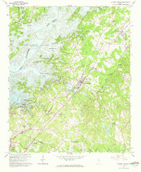
1964 Map of Flowery Branch
USGS Topo · Published 1972About this map
Lake Sidney Lanier dominates the northwestern landscape of this mid-1960s survey, illustrating the transformative impact of the Buford Dam on the Chattahoochee River basin. The reservoir's irregular shoreline is dotted with recreation and utility points, from Aqualand Marina and Snug Harbor Marina to the Buford Waterworks. In contrast to the rising waters, the Southern railroad line anchors the inland communities of Flowery Branch and Oakwood, following the ridge lines that separate the lake's fingers from the eastern drainages of Mud Creek and Suwanee Creek.
Find a feature on this map
70 named features on this map. Tap any name to fly to it.
Don’t see what you’re looking for? This feature index may not catch every label — zoom into the map to look around manually.
Map Details
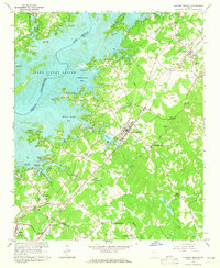
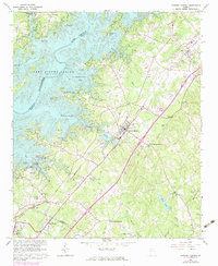
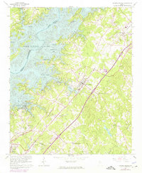
Editions of this 1964 Flowery Branch Map
4 editions found
Other maps of this area

1890 · Suwanee
USGS Topo · 1:125,000

1891 · Gainesville
USGS Topo · 1:125,000

1894 · Suwanee
USGS Topo · 1:125,000

1954 · Greenville
USGS Topo · 1:250,000

1955 · Rome
USGS Topo · 1:250,000

1958 · Greenville
USGS Topo · 1:250,000

1958 · Rome
USGS Topo · 1:250,000

1961 · Rome
USGS Topo · 1:250,000

1963 · Rome
USGS Topo · 1:250,000

1964 · Hog Mountain
USGS Topo · 1:24,000