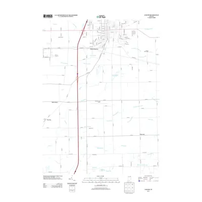
2013 Map of Auburn
USGS Topo · Published 2013About this map
The southern outskirts of Auburn and the surrounding DeKalb County landscape are defined by an intricate network of drainage systems and small rural settlements. This 2013 survey illustrates how water management has shaped the local geography, with numerous named channels like Schmadel Ditch, Dosch Ditch, and Peckhart Ditch crisscrossing the agricultural fields. The transportation hub at Auburn Junction sits north of several established communities including Saint Johns, New Era, and Hopewell. Aviation plays a central role in the area's modern identity, represented here by both the De Kalb County Airport and Mooney Field Airport. While much of the land remains committed to agriculture and residential expansion, small pockets of water like Saint Anthonys Center Lake and Dunton Lake provide localized natural landmarks within the gridded road system.
Find a feature on this map
138 named features on this map. Tap any name to fly to it.
Don’t see what you’re looking for? This feature index may not catch every label — zoom into the map to look around manually.
Map Details
Editions of this 2013 Auburn Map
This is the sole edition of this map. No revisions or reprints were ever made.
Other maps of this area

1953 · Fort Wayne
USGS Topo · 1:250,000

1955 · Corunna
USGS Topo · 1:24,000

1956 · Fort Wayne
USGS Topo · 1:250,000

1956 · Cedarville
USGS Topo · 1:24,000

1957 · Auburn
USGS Topo · 1:24,000

1957 · Waterloo
USGS Topo · 1:24,000

1957 · Huntertown
USGS Topo · 1:24,000

1957 · Garrett
USGS Topo · 1:24,000

1958 · Grabill
USGS Topo · 1:24,000

1958 · Butler West
USGS Topo · 1:24,000