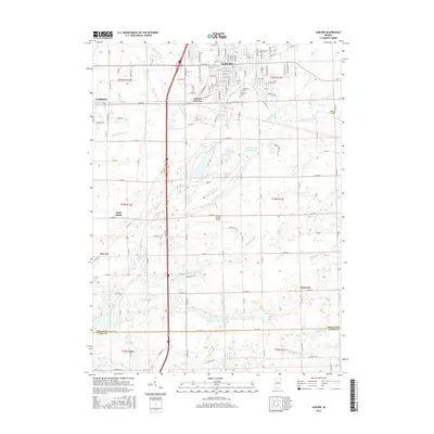
2016 Map of Auburn
USGS Topo · Published 2016About this map
The city of Auburn and the surrounding DeKalb County landscape are defined by a complex network of man-made drainage ditches, reflecting the agricultural engineering necessary for this part of Indiana. Significant waterways like Cedar Creek, Peckhart Ditch, and the Cecil Metcalf Ditch crisscross the terrain, supporting the rural settlements of Saint Johns, New Era, and Hopewell. The urban core of Auburn is densely gridded, showing the growth of its residential streets near Roselawn Cem and Woodlawn Cem.
Find a feature on this map
132 named features on this map. Tap any name to fly to it.
Don’t see what you’re looking for? This feature index may not catch every label — zoom into the map to look around manually.
Map Details
Editions of this 2016 Auburn Map
This is the sole edition of this map. No revisions or reprints were ever made.
Other maps of this area

1953 · Fort Wayne
USGS Topo · 1:250,000

1955 · Corunna
USGS Topo · 1:24,000

1956 · Fort Wayne
USGS Topo · 1:250,000

1956 · Cedarville
USGS Topo · 1:24,000

1957 · Auburn
USGS Topo · 1:24,000

1957 · Waterloo
USGS Topo · 1:24,000

1957 · Huntertown
USGS Topo · 1:24,000

1957 · Garrett
USGS Topo · 1:24,000

1958 · Grabill
USGS Topo · 1:24,000

1958 · Butler West
USGS Topo · 1:24,000