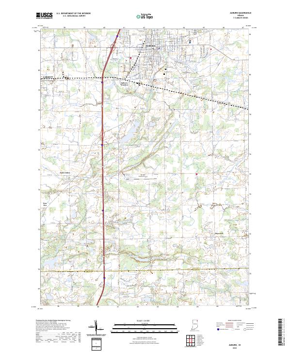
2022 Map of Auburn
USGS Topo · Published 2022About this map
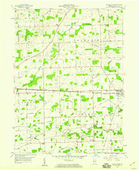
The city of Auburn and the eastern edge of Garrett anchor this landscape, reflecting a region defined by its municipal growth and intricate drainage network. The DeKalb County Courthouse serves as a central landmark in Auburn, while Auburn Junction marks a key historical transit point just to the south. The surrounding terrain is heavily modified by an extensive system of waterways, including Peckhart Ditch, Garrett City Ditch, and Cecil Metcalf Ditch, which manage the low-lying geography of the DeKalb and Allen County borderlands.
Find a feature on this map
66 named features on this map. Tap any name to fly to it.
Don’t see what you’re looking for? This feature index may not catch every label — zoom into the map to look around manually.
Map Details
Editions of this 2022 Auburn Map
This is the sole edition of this map. No revisions or reprints were ever made.
Other maps of this area

1953 · Fort Wayne
USGS Topo · 1:250,000
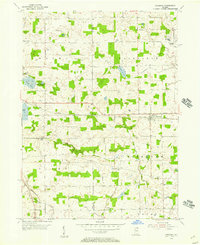
1955 · Corunna
USGS Topo · 1:24,000

1956 · Fort Wayne
USGS Topo · 1:250,000
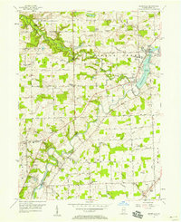
1956 · Cedarville
USGS Topo · 1:24,000
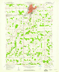
1957 · Auburn
USGS Topo · 1:24,000
1957 · Waterloo
USGS Topo · 1:24,000
1957 · Huntertown
USGS Topo · 1:24,000
1957 · Garrett
USGS Topo · 1:24,000
1958 · Grabill
USGS Topo · 1:24,000
1958 · Butler West
USGS Topo · 1:24,000