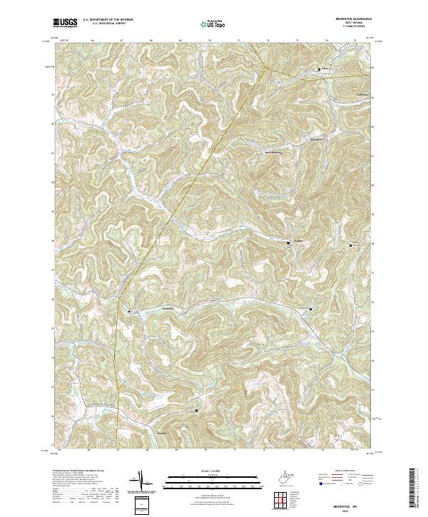
2023 Map of Audra
USGS Topo · Published 2023About this map
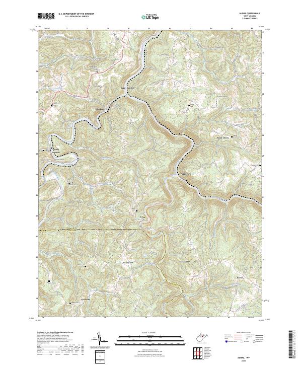
The Buckhannon River and Middle Fork River converge toward the Tygart Valley River in this rugged section of West Virginia. The terrain is marked by sharp ridges and deep runs, with McDermott Ridge and Chestnut Flats defining the upland boundaries. Settlement is concentrated along these watercourses and the Union rail line, which passes through Tygart Junction and south toward Century Junction. Small communities like Carrollton, Middle Fork, and Audra serve as local hubs in a landscape dotted with family and community burial grounds, including the Mount Vernon Memorial Cem and Pleasant Grove Cem. The presence of Simpson Airport and the Upper Alum Cave Trl reflects a mix of modern infrastructure and recreational access in the heart of Barbour and Upshur counties.
Find a feature on this map
117 named features on this map. Tap any name to fly to it.
Don’t see what you’re looking for? This feature index may not catch every label — zoom into the map to look around manually.
Map Details
Editions of this 2023 Audra Map
This is the sole edition of this map. No revisions or reprints were ever made.
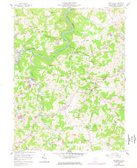
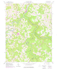
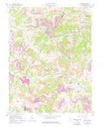
Historical Maps of Union Through Time
6 maps found