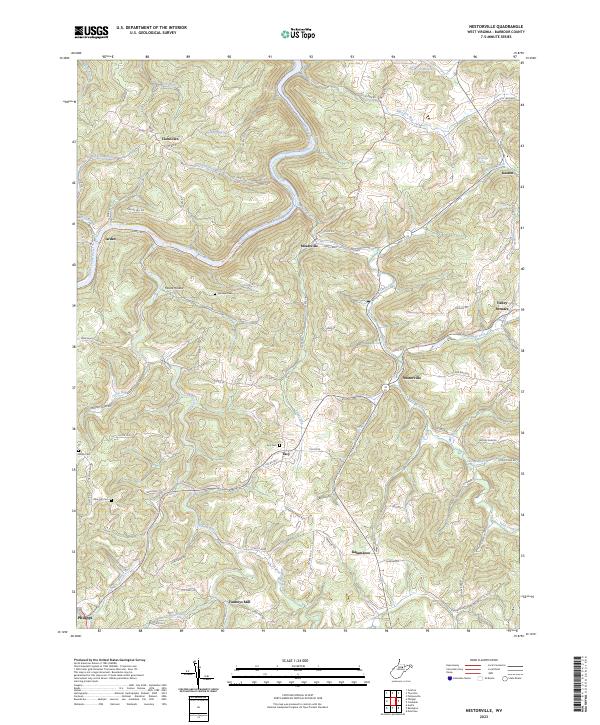
2023 Map of Nestorville
USGS Topo · Published 2023About this map
Tygart Valley River carves a deep winding path through the heart of Barbour County, anchoring a landscape defined by small crossroad communities and family-named landmarks. The settlement of Nestorville sits central to a network of creeks, including Teter Creek and Flat Run, where the local economy historically relied on the water's flow and fertile hollows. Significant genealogical points of interest include Fairview Cem, Tacy Cem, and the Olive Hill Cem, providing vital clues for researchers tracing the early families of this Appalachian region.
Find a feature on this map
86 named features on this map. Tap any name to fly to it.
Don’t see what you’re looking for? This feature index may not catch every label — zoom into the map to look around manually.
Map Details
Editions of this 2023 Nestorville Map
This is the sole edition of this map. No revisions or reprints were ever made.
Other maps of this area

1886 · St. George
USGS Topo · 1:125,000

1891 · St. George
USGS Topo · 1:125,000

1902 · Fairmont
USGS Topo · 1:62,500

1904 · Philippi
USGS Topo · 1:62,500

1907 · Thornton
USGS Topo · 1:62,500

1907 · Belington
USGS Topo · 1:62,500

1923 · Fairmont
USGS Topo · 1:62,500

1925 · Philippi
USGS Topo · 1:62,500

1926 · Fairmont
USGS Topo · 1:62,500

1926 · Thornton
USGS Topo · 1:62,500