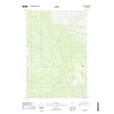
2019 Map of Auger Lake
USGS Topo · Published 2019About this map
Auger Lake and the surrounding wetlands of the Upper Peninsula define this portion of Luce County, where a dense network of forest roads and trails navigates a landscape of scattered glacial lakes. The settlement at Fourmile Corner serves as a primary junction along M-123, providing a rare point of named habitation in a region largely dominated by conservation and resource management. The map details several lakes with specific local identifiers, such as Cleveland Cliffs Lake, Spring Hill Lake, and Camp Seven Lake, many of which are connected by seasonal drainages like Auger Cr and Murphy Cr. This 2019 survey documents a contemporary landscape of recreational and logging access, tracing legacy routes such as the Camp One Trl and Charcoal Grade Rd that hint at the area's historical timber and industrial uses.
Find a feature on this map
45 named features on this map. Tap any name to fly to it.
Don’t see what you’re looking for? This feature index may not catch every label — zoom into the map to look around manually.
Map Details
Editions of this 2019 Auger Lake Map
This is the sole edition of this map. No revisions or reprints were ever made.
Other maps of this area

1954 · Sault Sainte Marie
USGS Topo · 1:250,000

1956 · Sault Sainte Marie
USGS Topo · 1:250,000

1957 · Sault Sainte Marie
USGS Topo · 1:250,000

1958 · Sault Sainte Marie
USGS Topo · 1:250,000

1962 · Auger Lake
USGS Topo · 1:24,000

1968 · Muskallonge Lake SW
USGS Topo · 1:24,000

1968 · Muskallonge Lake SE
USGS Topo · 1:24,000

1968 · Betsy Lake SW
USGS Topo · 1:24,000
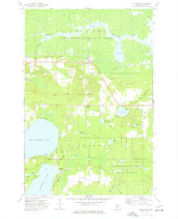
1973 · McMillan
USGS Topo · 1:24,000
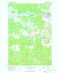
1973 · Newberry
USGS Topo · 1:24,000