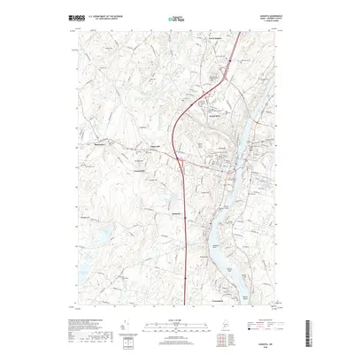
2018 Map of Augusta
USGS Topo · Published 2018About this map
The Kennebec River serves as the central artery for this 2018 survey of Maine's capital and its surrounding communities. The landscape is defined by its transition from the urban density of Augusta and Hallowell to the elevated terrain of Pelton Hill, Granite Hill, and Howard Hill. For genealogists, the map is remarkably dense with burial sites, ranging from the expansive Maine Veterans Memorial Cem and Saint Augustine Cem to the smaller Scribner Cem and the State of Maine Burying Ground.
Find a feature on this map
144 named features on this map. Tap any name to fly to it.
Don’t see what you’re looking for? This feature index may not catch every label — zoom into the map to look around manually.
Map Details
Editions of this 2018 Augusta Map
This is the sole edition of this map. No revisions or reprints were ever made.
Other maps of this area

1892 · Gardiner
USGS Topo · 1:62,500

1892 · Augusta
USGS Topo · 1:62,500

1893 · Vassalboro
USGS Topo · 1:62,500

1893 · Wiscasset
USGS Topo · 1:62,500

1898 · Vassalboro
USGS Topo · 1:62,500

1941 · Vassalboro
USGS Topo · 1:62,500

1941 · Augusta
USGS Topo · 1:62,500

1943 · Augusta
USGS Topo · 1:62,500

1943 · Gardiner
USGS Topo · 1:62,500

1943 · Vassalboro
USGS Topo · 1:62,500