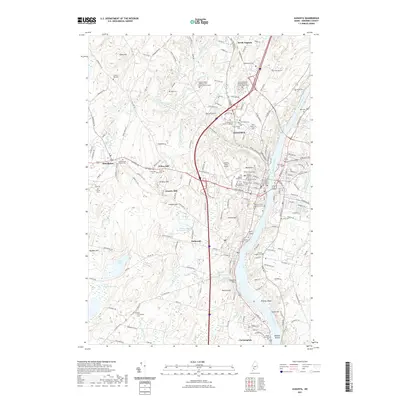
2021 Map of Augusta
USGS Topo · Published 2021About this map
The Kennebec River corridor defines this modern survey of Maine's capital city and its surrounding riverfront communities. From the seat of government at the Kennebec County Courthouse and the nearby State of Maine Burial Ground, the landscape shifts from the urban core of Augusta to the elevated terrains of Burnt Hill and Howard Hill. The map meticulously documents a dense concentration of local heritage sites, including over two dozen named cemeteries such as Maine Veterans Memorial Cem - Civic Center Drive and the Holy Family Cem.
Find a feature on this map
198 named features on this map. Tap any name to fly to it.
Don’t see what you’re looking for? This feature index may not catch every label — zoom into the map to look around manually.
Map Details
Editions of this 2021 Augusta Map
This is the sole edition of this map. No revisions or reprints were ever made.
Other maps of this area

1892 · Gardiner
USGS Topo · 1:62,500

1892 · Augusta
USGS Topo · 1:62,500

1893 · Vassalboro
USGS Topo · 1:62,500

1893 · Wiscasset
USGS Topo · 1:62,500

1898 · Vassalboro
USGS Topo · 1:62,500

1941 · Vassalboro
USGS Topo · 1:62,500

1941 · Augusta
USGS Topo · 1:62,500

1943 · Augusta
USGS Topo · 1:62,500

1943 · Gardiner
USGS Topo · 1:62,500

1943 · Vassalboro
USGS Topo · 1:62,500