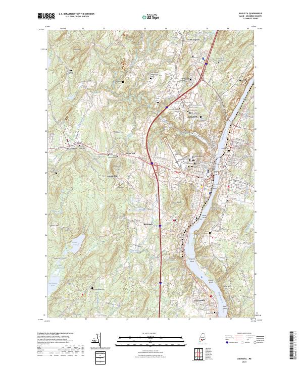
2024 Map of Augusta
USGS Topo · Published 2024About this map
The Kennebec River corridor defines the geography of this Maine capital region, where the steep banks of Howard Hill and Perkins Hill overlook the narrow valley floor. This 2024 survey captures the significant civic and institutional footprint of Augusta, showing the modern expansion of the city westward toward Augusta State Airport and the campus of the University of Maine At Augusta. The landscape is notably densely packed with memorial sites, including the Central Maine Veterans Cem - Mount Vernon Road and the State of Maine Burial Ground, reflecting its long-standing role as a center for state administration and remembrance.
Find a feature on this map
204 named features on this map. Tap any name to fly to it.
Don’t see what you’re looking for? This feature index may not catch every label — zoom into the map to look around manually.
Map Details
Editions of this 2024 Augusta Map
This is the sole edition of this map. No revisions or reprints were ever made.
Other maps of this area

1892 · Gardiner
USGS Topo · 1:62,500

1892 · Augusta
USGS Topo · 1:62,500

1893 · Vassalboro
USGS Topo · 1:62,500

1893 · Wiscasset
USGS Topo · 1:62,500

1898 · Vassalboro
USGS Topo · 1:62,500

1941 · Vassalboro
USGS Topo · 1:62,500

1941 · Augusta
USGS Topo · 1:62,500

1943 · Augusta
USGS Topo · 1:62,500

1943 · Gardiner
USGS Topo · 1:62,500

1943 · Vassalboro
USGS Topo · 1:62,500