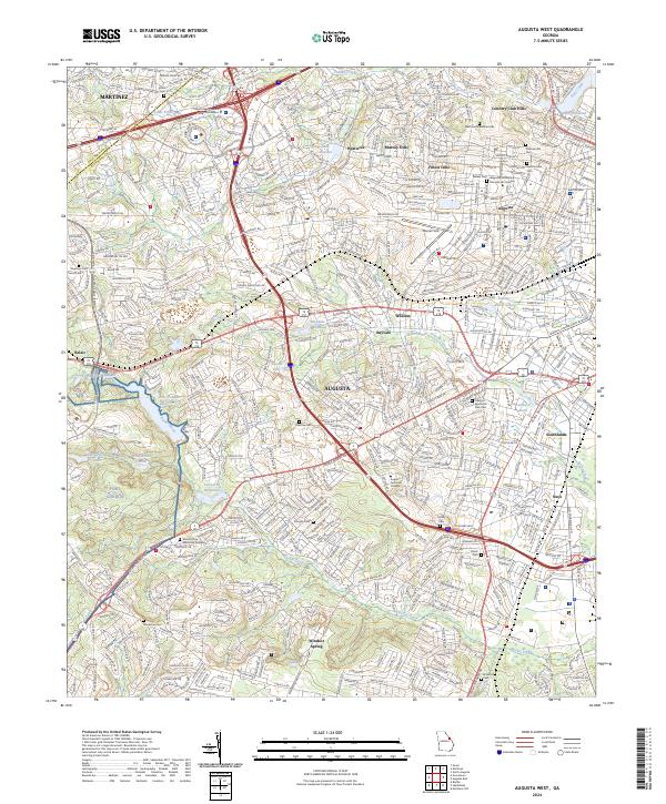
2024 Map of Augusta West
USGS Topo · Published 2024About this map
Augusta and its western residential corridors are depicted in this 2024 survey, revealing a landscape defined by collegiate campuses, sprawling memorial parks, and the edge of the Fort Gordon military reservation. The geography is punctuated by numerous historical burial grounds, from the large Westover Memorial Park and Summerville Cem to the smaller Chavous Cem and Burch Cem. These sites, along with Augusta University Summerville Campus and the Augusta Technical College, illustrate the institutional and civic growth extending toward Martinez and Belair.
Find a feature on this map
55 named features on this map. Tap any name to fly to it.
Don’t see what you’re looking for? This feature index may not catch every label — zoom into the map to look around manually.
Map Details
Editions of this 2024 Augusta West Map
This is the sole edition of this map. No revisions or reprints were ever made.
Other maps of this area

1892 · Mc Cormick
USGS Topo · 1:125,000

1912 · Mc Cormick
USGS Topo · 1:125,000

1920 · Clarks Hill
USGS Topo · 1:48,000

1921 · Augusta
USGS Topo · 1:62,500

1921 · Clarks Hill
USGS Topo · 1:62,500

1922 · Hephzibah
USGS Topo · 1:62,500

1923 · Warrenville
USGS Topo · 1:48,000

1928 · Warrenville
USGS Topo · 1:62,500

1941 · Clarks Hill
USGS Topo · 1:62,500

1942 · Clarks Hill
USGS Topo · 1:62,500