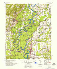
1935 Map of Augusta
USGS Topo · Published 1957About this map
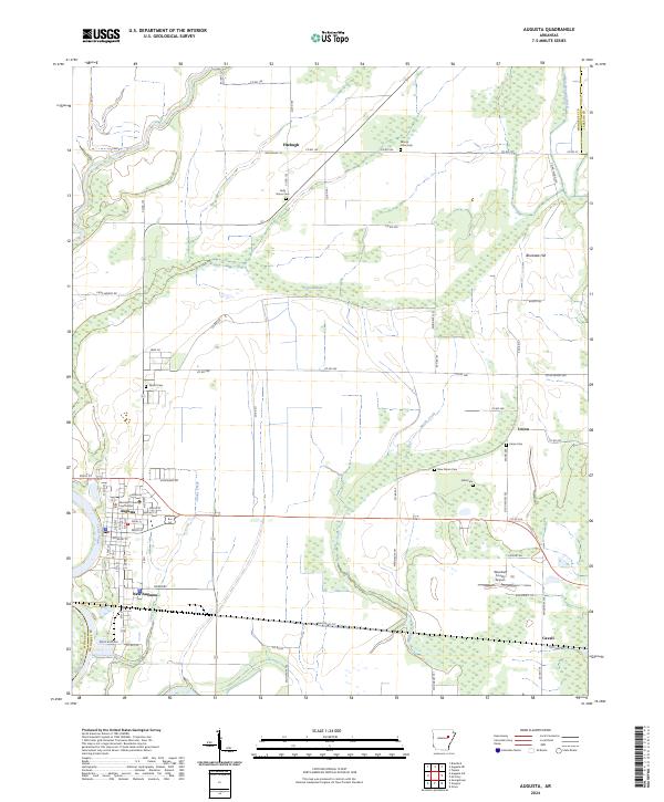
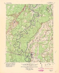
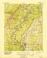
The meandering White River dominates this mid-1930s landscape, weaving a complex network of oxbow lakes and sloughs through Jackson, White, and Woodruff Counties. The settlement of Augusta serves as a focal point along the riverbank, supported by the Missouri Pacific RR which connects smaller stops like New Augusta and Ruffwood Sta. This era represents a river-driven economy transitioning toward improved overland travel, as seen in the designation of Ark State Highway No 64 and the presence of numerous family-named landings and ferries including Hames Ferry and Goad Ferry.
Find a feature on this map
84 named features on this map. Tap any name to fly to it.
Don’t see what you’re looking for? This feature index may not catch every label — zoom into the map to look around manually.
Map Details
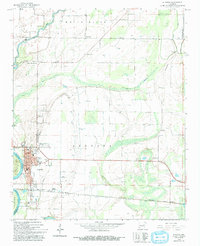
Editions of this 1935 Augusta Map
2 editions found
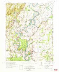
Historical Maps of Augusta Through Time
9 maps found