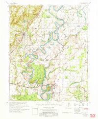
1971 Map of Augusta
USGS Topo · Published 1971About this map
The White River winds in deep oxbows through the heart of this Arkansas delta landscape, defining the borders of Jackson and Woodruff Counties. The river's influence is evident in the dense network of wetlands such as Deadman Slough, Bear Water Slough, and Yancopin Lake. These features reflect a flood-prone geography where agriculture and industry have historically adapted to the shifting water. Along the Missouri Pacific railroad corridor, established settlements like Augusta and Bradford serve as anchors for the surrounding rural territory, while smaller points like Fitzhugh and Rio Vista mark the persistent presence of local crossroads communities.
Find a feature on this map
114 named features on this map. Tap any name to fly to it.
Don’t see what you’re looking for? This feature index may not catch every label — zoom into the map to look around manually.
Map Details
Editions of this 1971 Augusta Map
This is the sole edition of this map. No revisions or reprints were ever made.
Other maps of this area

1890 · Batesville
USGS Topo · 1:125,000

1891 · Batesville
USGS Topo · 1:125,000

1932 · Kensett
USGS Topo · 1:62,500

1935 · Kensett
USGS Topo · 1:62,500

1935 · Newport
USGS Topo · 1:62,500

1935 · Augusta
USGS Topo · 1:62,500

1935 · Tuckerman
USGS Topo · 1:62,500

1935 · Gregory
USGS Topo · 1:62,500

1935 · Bald Knob
USGS Topo · 1:62,500

1939 · Hunter
USGS Topo · 1:62,500