2022 Map of Ault
USGS Topo · Published 2022About this map
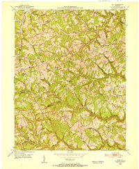
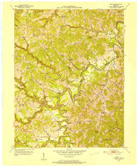
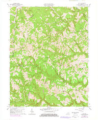
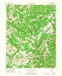
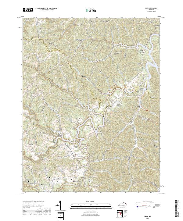
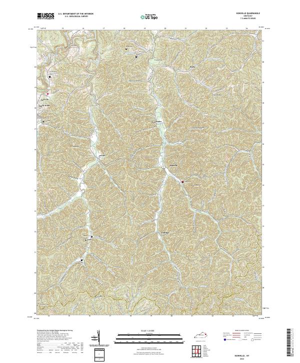
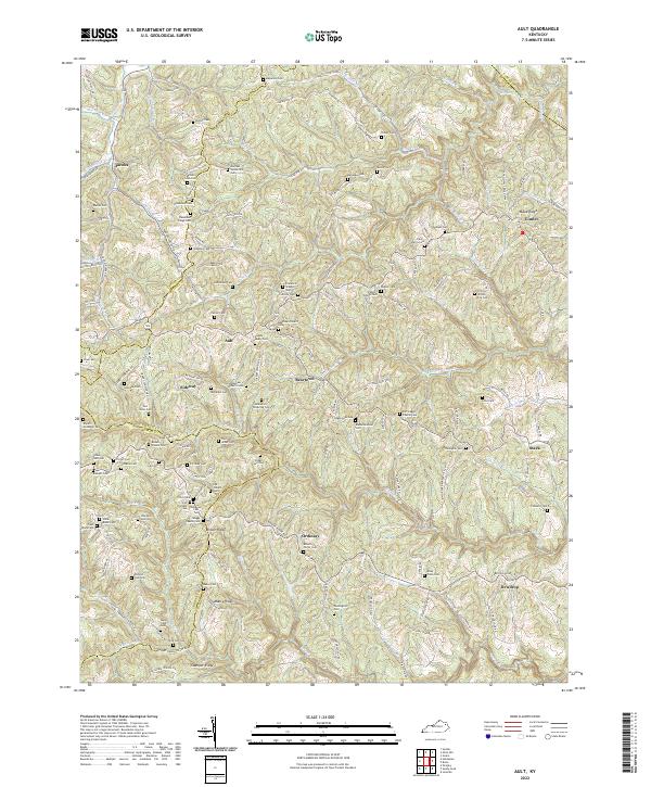
Mabry Ridge and Stamper Ridge define the complex, dissected landscape of the northern Cumberland Plateau in Elliott and Carter counties. Small communities like Ault, Beartown, and Ordinary are connected by a network of winding roads such as Stringtown Rd and Old Laurel School Rd, reflecting a settlement pattern deeply tied to the narrow valleys of Little Caney Cr and Big Caney Cr. Family history is exceptionally well-preserved here through dozens of named burial sites, including the Wagoner-Roberts Cem and the Kegley-Mabry Cem, which mark the homesteads and lineages of this rural Appalachian region. The map also traces the jurisdictional borders where Elliott Co meets Rowan Co and Carter Co, providing a precise look at the rural infrastructure and land use in the early 21st century.
Find a feature on this map
129 named features on this map. Tap any name to fly to it.
Don’t see what you’re looking for? This feature index may not catch every label — zoom into the map to look around manually.
Map Details
Editions of this 2022 Ault Map
This is the sole edition of this map. No revisions or reprints were ever made.
Historical Maps of Jacobs Through Time
10 maps found