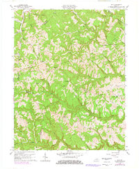
1962 Map of Ault
USGS Topo · Published 1978About this map
Ault sits at the heart of this rural landscape where the boundaries of Carter, Elliott, and Rowan counties meet. The area is defined by a dense network of watercourses, including the meandering Big Caney Creek and Big Gimlet Creek. These valleys once supported numerous small communities and post offices such as Gimlet P O and Stark PO. Educational and religious life was decentralized across the hills, anchored by local institutions like New Salem Sch, Fairview Ch, and Bunker Hill Sch.
Find a feature on this map
58 named features on this map. Tap any name to fly to it.
Don’t see what you’re looking for? This feature index may not catch every label — zoom into the map to look around manually.
Map Details
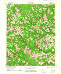
Editions of this 1962 Ault Map
2 editions found
Other maps of this area

1929 · Morehead
USGS Topo · 1:48,000

1935 · Morehead
USGS Topo · 1:62,500

1950 · Bruin
USGS Topo · 1:24,000

1950 · Grahn
USGS Topo · 1:24,000

1950 · Isonville
USGS Topo · 1:24,000

1950 · Olive Hill
USGS Topo · 1:24,000

1950 · Ault
USGS Topo · 1:24,000

1950 · Sandy Hook
USGS Topo · 1:24,000

1951 · Soldier
USGS Topo · 1:24,000

1953 · Haldeman
USGS Topo · 1:24,000