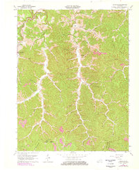
1962 Map of Isonville
USGS Topo · Published 1978About this map
Isonville serves as a central hub in this post-war survey of Elliott County, where the Little Sandy River and its numerous forks carve through the landscape. The community infrastructure of the mid-20th century is well-documented, featuring the Isonville Sch, Roscoe Sch, and the Wright-Watson Sch, alongside local landmarks like Fraley Chapel. These sites, along with several scattered cemeteries, provide a detailed look at the rural settlement patterns before later developments.
Find a feature on this map
57 named features on this map. Tap any name to fly to it.
Don’t see what you’re looking for? This feature index may not catch every label — zoom into the map to look around manually.
Map Details
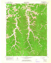
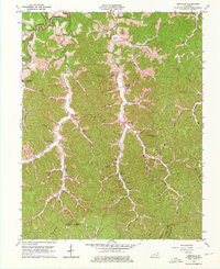
Editions of this 1962 Isonville Map
3 editions found
Other maps of this area

1886 · Prestonsburg
USGS Topo · 1:125,000

1889 · Salyersville
USGS Topo · 1:125,000

1891 · Salyersville
USGS Topo · 1:125,000

1892 · Prestonsburg
USGS Topo · 1:125,000

1899 · Salyersville
USGS Topo · 1:125,000

1903 · Kenova
USGS Topo · 1:125,000

1904 · Kenova
USGS Topo · 1:125,000

1915 · Paintsville
USGS Topo · 1:48,000

1917 · Paintsville
USGS Topo · 1:62,500

1950 · Bruin
USGS Topo · 1:24,000