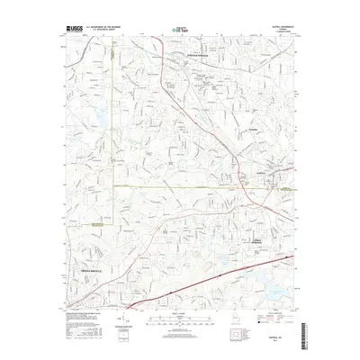
2017 Map of Austell
USGS Topo · Published 2017About this map
Powder Springs and Austell anchor this survey of the western Atlanta suburbs, documenting a landscape where historic town centers meet modern residential expansion. The map detail highlights numerous family-named burial sites such as Crocker-Elliott Cem, Duke Cem, and the Perkerson Cem, which serve as vital markers of the area's early landowning families. The transition from rural to suburban is evident in the network of local roads that now surround older landmarks like Browns Bridge and Stansil Bridge. Water features like Sweetwater Creek and Noses Cr cut through the terrain, with several man-made impoundments such as Greystone Lake and Penns Lake reflecting the post-war development of the region. Educational and religious heritage is also represented, from the Life Sch of Theology to several local cemeteries including Pleasant Hill Cem and McKenney Cem.
Find a feature on this map
296 named features on this map. Tap any name to fly to it.
Don’t see what you’re looking for? This feature index may not catch every label — zoom into the map to look around manually.
Map Details
Editions of this 2017 Austell Map
This is the sole edition of this map. No revisions or reprints were ever made.
Other maps of this area

1891 · Marietta
USGS Topo · 1:125,000

1895 · Marietta
USGS Topo · 1:125,000

1897 · Marietta
USGS Topo · 1:125,000

1901 · Marietta
USGS Topo · 1:125,000

1953 · Atlanta
USGS Topo · 1:250,000

1954 · Campbellton
USGS Topo · 1:24,000
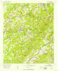
1954 · Mableton
USGS Topo · 1:24,000
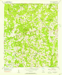
1954 · Lost Mountain
USGS Topo · 1:24,000

1954 · Austell
USGS Topo · 1:24,000
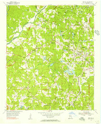
1954 · Ben Hill
USGS Topo · 1:24,000