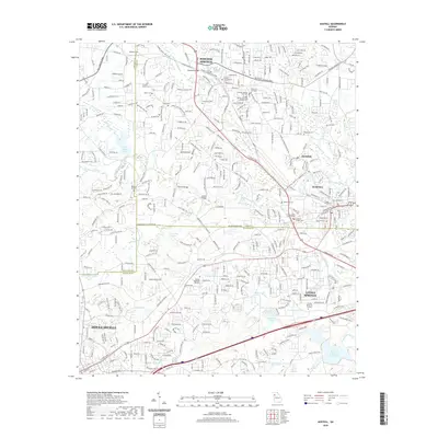
2020 Map of Austell
USGS Topo · Published 2020About this map
Powder Springs and Austell anchor this survey of the western suburban corridor where Cobb, Douglas, and Paulding counties meet. The landscape is defined by the winding course of Sweetwater Creek and its many tributaries, including Noses Cr, Olley Cr, and Powder Springs Cr. Numerous family and community burial sites are documented throughout the area, such as the Crocker-Elliott Cem, Hill Cem, and Perkerson Cem, alongside larger modern grounds like Sunrise Memorial Gardens. The map details the complex transportation network through Lithia Springs and toward Douglasville, featuring the C H James Pkwy and Richard D Sailors Pkwy. Significant water bodies like the George H Sparks Reservoir and Pine Valley Lake illustrate the area's hydraulic development, while smaller features like Chism Lake and Shues Lake remain prominent landmarks within the residential and industrial expansion of the early 21st century.
Find a feature on this map
48 named features on this map. Tap any name to fly to it.
Don’t see what you’re looking for? This feature index may not catch every label — zoom into the map to look around manually.
Map Details
Editions of this 2020 Austell Map
This is the sole edition of this map. No revisions or reprints were ever made.
Other maps of this area

1891 · Marietta
USGS Topo · 1:125,000

1895 · Marietta
USGS Topo · 1:125,000

1897 · Marietta
USGS Topo · 1:125,000

1901 · Marietta
USGS Topo · 1:125,000

1953 · Atlanta
USGS Topo · 1:250,000

1954 · Campbellton
USGS Topo · 1:24,000
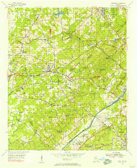
1954 · Mableton
USGS Topo · 1:24,000
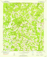
1954 · Lost Mountain
USGS Topo · 1:24,000

1954 · Austell
USGS Topo · 1:24,000
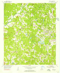
1954 · Ben Hill
USGS Topo · 1:24,000