Loading...
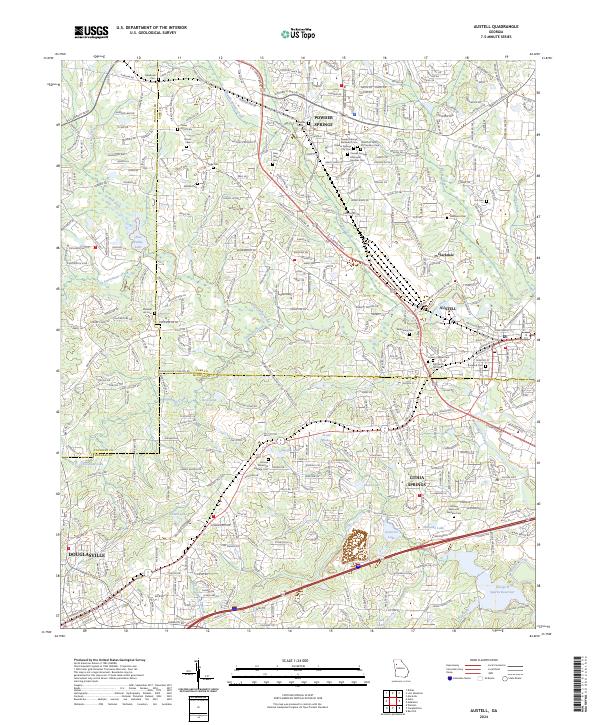
Loading map...2024 Map of Austell
USGS Topo · Published 2024About this map
Powder Springs and Austell anchor this modern survey of the western suburban corridor, where the landscape is defined by the winding course of Sweetwater Creek and its many tributaries. The area's deep-rooted community history is visible through an exceptional density of family and municipal burial grounds, ranging from the Old Smith Hill Cem and Croker Elliott Cem to large modern sites like Sunrise Memorial Gardens Cem.
Find a feature on this map
70 named features on this map. Tap any name to fly to it.
Don’t see what you’re looking for? This feature index may not catch every label — zoom into the map to look around manually.
Map Details
Date Portrayed2024
Date Published2024
PublisherU.S. Geological Survey
Map TypeTopographic
Scale1:24000
Physical Dimensions24 x 29 inches
Editions of this 2024 Austell Map
This is the sole edition of this map. No revisions or reprints were ever made.
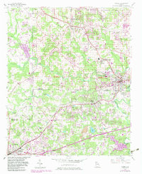
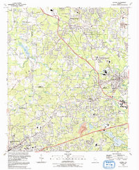
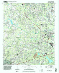
Historical Maps of Austell Through Time
4 maps found
Featured Locations
Source Details
SourceU.S. Geological Survey
CopyrightPublic Domain