Loading...
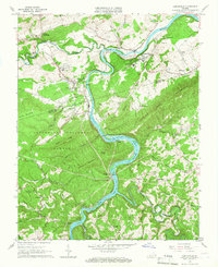
Loading map...1965 Map of Austinville
USGS Topo · Published 1966About this map
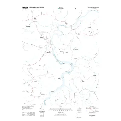
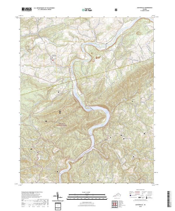
The industrial and agricultural life of the New River valley is deeply etched into this 1965 record, where the Norfolk and Western railway follows the river's winding path through the Blue Ridge foothills. Mining operations dominate the landscape near Austinville, evidenced by the Van Mater Shaft and Flatwood Shaft, reflecting the region's long-standing mineral extraction history. To the west, Ivanhoe serves as a significant hub with its Ivanhoe Shaft Substation and proximity to Kings Chapel.
Find a feature on this map
65 named features on this map. Tap any name to fly to it.
Don’t see what you’re looking for? This feature index may not catch every label — zoom into the map to look around manually.
Map Details
Date Portrayed1965
Date Published1966
PublisherU.S. Geological Survey
Map TypeTopographic
Scale1:24,000
Physical Dimensions22.1 x 27 inches
Editions of this 1965 Austinville Map
Historical Maps of Ivanhoe Through Time
6 maps found
Featured Locations
Source Details
SourceU.S. Geological Survey
CopyrightPublic Domain