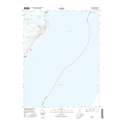
2016 Map of Avalon
USGS Topo · Published 2016About this map
Seven Mile Beach and the developed barrier island communities of Cape May County are documented here during the mid-2010s. The map illustrates the dense street grid of Avalon and the northern tip of Stone Harbor, situated between the open Atlantic Ocean and a complex network of coastal wetlands and tidal channels. The intricate hydrology of the back bays is defined by features like Kitts Thorofare, Stites Sound, and Ingram Thorofare.
Find a feature on this map
47 named features on this map. Tap any name to fly to it.
Don’t see what you’re looking for? This feature index may not catch every label — zoom into the map to look around manually.
Map Details
Editions of this 2016 Avalon Map
This is the sole edition of this map. No revisions or reprints were ever made.
Other maps of this area

1884 · Sea Isle
USGS Topo · 1:62,500

1888 · Cape May
USGS Topo · 1:62,500

1888 · Dennisville
USGS Topo · 1:62,500

1888 · Sea Isle
USGS Topo · 1:62,500

1893 · Cape May
USGS Topo · 1:62,500

1894 · Dennisville
USGS Topo · 1:62,500

1894 · Sea Isle
USGS Topo · 1:62,500

1898 · Cape May
USGS Topo · 1:62,500

1918 · Cape May
USGS Topo · 1:62,500

1919 · Sea Isle
USGS Topo · 1:62,500