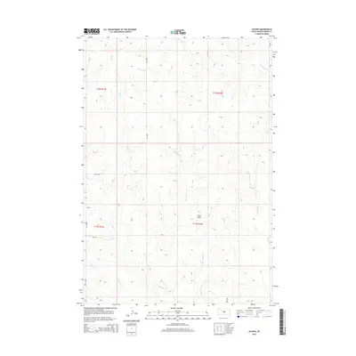
2015 Map of Avance
USGS Topo · Published 2015About this map
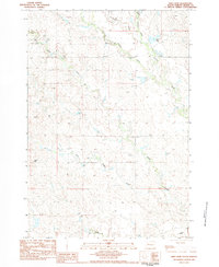
Avance is a named locality in rural Meade County, situated where Avance Rd and Opal Rd intersect. The terrain is defined by a dense network of intermittent drainage channels that feed into larger watercourses such as Wolf Cr and Stony Butte Cr. The most prominent topographic landmark is Stony Butte, which rises above the surrounding prairie landscape in the eastern half of the map.
Find a feature on this map
17 named features on this map. Tap any name to fly to it.
Don’t see what you’re looking for? This feature index may not catch every label — zoom into the map to look around manually.
Map Details
Editions of this 2015 Avance Map
This is the sole edition of this map. No revisions or reprints were ever made.
Other maps of this area

1952 · Deep Creek SE
USGS Topo · 1:24,000

1953 · Rapid City
USGS Topo · 1:250,000

1954 · Lemmon
USGS Topo · 1:250,000

1957 · Lemmon
USGS Topo · 1:250,000

1957 · Rapid City
USGS Topo · 1:250,000
1983 · Faith
USGS Topo · 1:24,000

1983 · Lemmon Butte
USGS Topo · 1:24,000
1983 · Avance SE
USGS Topo · 1:24,000
1983 · Avance
USGS Topo · 1:24,000
1983 · Reed Dam
USGS Topo · 1:24,000