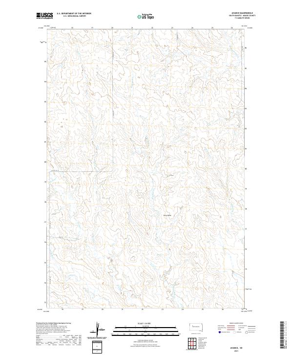
2021 Map of Avance
USGS Topo · Published 2021About this map
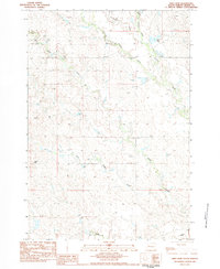
Stony Butte rises as the central topographic landmark in this stretch of Meade County, providing a high-ground anchor in an area defined by a web of intermittent watercourses. Drainage patterns reveal a landscape transitioning through several named creek basins, including the southward-reaching Wolf Cr and the centrally located Stony Butte Cr. The western boundary is marked by Co Hwy Mc-37, which intersects with Opal Rd, representing the primary transit arteries across these rural townships. To the east, the headwaters of W Br Turtle Cr and Red Scaffold Cr begin their descent, illustrating the subtle but important continental divide between localized drainage systems. This 2021 study documents the contemporary road network, showing modern designations like 194th Pl and 196th Pl as they provide access to this open range country.
Find a feature on this map
16 named features on this map. Tap any name to fly to it.
Don’t see what you’re looking for? This feature index may not catch every label — zoom into the map to look around manually.
Map Details
Editions of this 2021 Avance Map
This is the sole edition of this map. No revisions or reprints were ever made.
Other maps of this area

1952 · Deep Creek SE
USGS Topo · 1:24,000

1953 · Rapid City
USGS Topo · 1:250,000

1954 · Lemmon
USGS Topo · 1:250,000

1957 · Lemmon
USGS Topo · 1:250,000

1957 · Rapid City
USGS Topo · 1:250,000
1983 · Faith
USGS Topo · 1:24,000

1983 · Lemmon Butte
USGS Topo · 1:24,000
1983 · Avance SE
USGS Topo · 1:24,000
1983 · Avance
USGS Topo · 1:24,000
1983 · Reed Dam
USGS Topo · 1:24,000