2018 Map of Avera
USGS Topo · Published 2018About this map
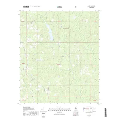
Turkey Fork Reservoir centers this landscape in the pine-covered hills of Greene County, serving as a primary water feature within the De Soto National Forest. The settlement of Avera anchors the western edge, where local travel was historically defined by roads like Pleasant Hill Rd and Pope Rd. To the north, the small community of Bothwell is located near Indian Camp Cr and the local landmark of Wade Holler.
Find a feature on this map
49 named features on this map. Tap any name to fly to it.
Don’t see what you’re looking for? This feature index may not catch every label — zoom into the map to look around manually.
Map Details
Editions of this 2018 Avera Map
This is the sole edition of this map. No revisions or reprints were ever made.
Other maps of this area

1947 · Beaumont
USGS Topo · 1:62,500

1949 · Beaumont
USGS Topo · 1:62,500

1953 · Hattiesburg
USGS Topo · 1:250,000

1958 · Hattiesburg
USGS Topo · 1:250,000

1963 · Brewer
USGS Topo · 1:24,000

1964 · Knobtown
USGS Topo · 1:24,000

1964 · Clark
USGS Topo · 1:24,000

1964 · Mulberry
USGS Topo · 1:24,000

1964 · Avera
USGS Topo · 1:24,000

1964 · Piave
USGS Topo · 1:24,000