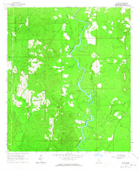
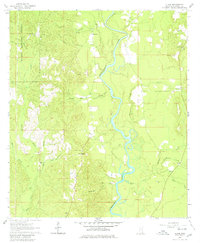
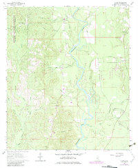
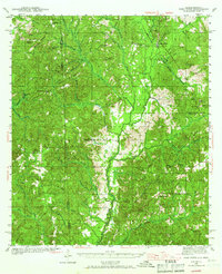
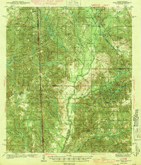
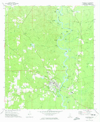
1964 Map of Clark
USGS Topo · Published 1965About this map
The Chickasawhay River meanders through the heart of Greene County, defining a landscape largely encompassed by the eastern reaches of the De Soto National Forest. This mid-1960s survey documents a rural environment of timberlands and small family-named cemeteries, where the settlement of Old Avera sits near the northern boundary. The geography is characterized by a dense network of watercourses, including Byrd Creek, Mason Creek, and Griffin Creek, which feed into the main river channel. Local history and genealogy are preserved in the numerous burial sites scattered across the ridges, such as Fellowship Cem and Odom Cem, many of which remain the primary markers of past communities. The presence of a Sandpit and Gravel Pit indicates small-scale local resource extraction alongside the dominant forest service lands.
Find a feature on this map
33 named features on this map. Tap any name to fly to it.
Don’t see what you’re looking for? This feature index may not catch every label — zoom into the map to look around manually.
Map Details
Editions of this 1964 Clark Map
3 editions found
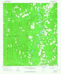
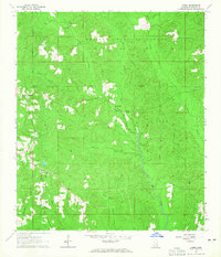
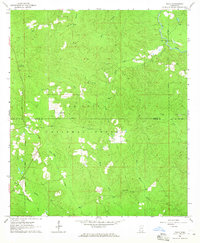
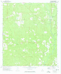
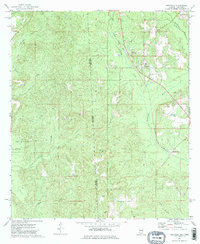
Other maps of this area
1942 · Deer Park
USGS Topo · 1:62,500
1943 · Deer Park
USGS Topo · 1:62,500

1953 · Hattiesburg
USGS Topo · 1:250,000

1958 · Hattiesburg
USGS Topo · 1:250,000
1964 · Knobtown
USGS Topo · 1:24,000
1964 · Avera
USGS Topo · 1:24,000
1964 · Piave
USGS Topo · 1:24,000
1972 · Leakesville
USGS Topo · 1:24,000
1973 · Jonathan
USGS Topo · 1:24,000
1974 · Fruitdale
USGS Topo · 1:24,000