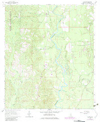
1964 Map of Clark
USGS Topo · Published 1983About this map
The Chickasawhay River meanders through the heart of this Greene County landscape, defining the boundary between the De Soto National Forest and the Kurtz State Forest. This 1960s survey, with updates from the early 1980s, captures the rural character of southeastern Mississippi as it approaches the Mississippi-Alabama State Line. The settlement at Old Avera and the smaller community of Clark serve as primary points of interest for local historians, surrounded by a high density of family and community burial grounds.
Find a feature on this map
38 named features on this map. Tap any name to fly to it.
Don’t see what you’re looking for? This feature index may not catch every label — zoom into the map to look around manually.
Map Details
Editions of this 1964 Clark Map
3 editions found
Other maps of this area

1942 · Deer Park
USGS Topo · 1:62,500

1943 · Deer Park
USGS Topo · 1:62,500

1953 · Hattiesburg
USGS Topo · 1:250,000

1958 · Hattiesburg
USGS Topo · 1:250,000

1964 · Knobtown
USGS Topo · 1:24,000

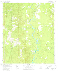
1964 · Clark
USGS Topo · 1:24,000

1964 · Avera
USGS Topo · 1:24,000

1964 · Piave
USGS Topo · 1:24,000

1972 · Leakesville
USGS Topo · 1:24,000

1973 · Jonathan
USGS Topo · 1:24,000