Loading...
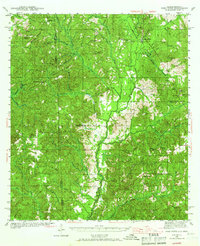
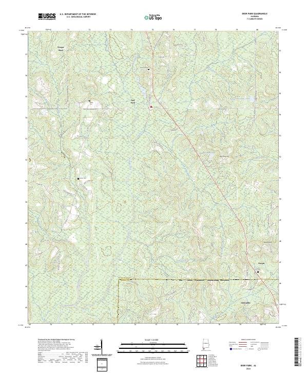
Loading map...1942 Map of Deer Park
USGS Topo · Published 1966About this map
The Little Escatawpa River and Escatawpa River wind through this corner of the Alabama-Mississippi border, anchoring a landscape of timber-industry camps and rural crossroads. The Mississippi and Alabama RR and Mobile and Ohio RR provide the primary infrastructure connecting settlements like Deer Park and Renausville. Local life at the time of this 1942 survey is centered around small family-named landmarks and rural institutions, from Turners Store to the McCann Sch.
Find a feature on this map
57 named features on this map. Tap any name to fly to it.
Don’t see what you’re looking for? This feature index may not catch every label — zoom into the map to look around manually.
Map Details
Date Portrayed1942
Date Published1966
PublisherU.S. Geological Survey
Map TypeTopographic
Scale1:62,500
Physical Dimensions17 x 20.9 inches
Editions of this 1942 Deer Park Map
This is the sole edition of this map. No revisions or reprints were ever made.
Historical Maps of Citronelle Through Time
8 maps found
Featured Locations
Source Details
SourceU.S. Geological Survey
CopyrightPublic Domain