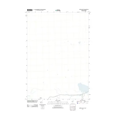
2012 Map of Averill OE N
USGS Topo · Published 2012About this map
Wallace Pond dominates the lower right corner of this borderlands survey, marking the watery boundary between Vermont and Quebec. The map focuses on the high-elevation terrain near the international line, anchored by the peak of Averill Mountain. Small-scale drainage systems like Averill Cr and Morrill Brook define the watershed as it feeds into the pond. Local infrastructure is minimal and concentrated near the shoreline, where residential routes such as Cote Dr, Dubeau Rd, and Lake Vw provide access to the water's edge. The sparse nature of the map reflects a remote landscape where topography and hydrology remain the primary features of interest, offering a precise look at the transition from the mountain slopes to the pond Basin in the early 21st century.
Find a feature on this map
7 named features on this map. Tap any name to fly to it.
Don’t see what you’re looking for? This feature index may not catch every label — zoom into the map to look around manually.
Map Details
Editions of this 2012 Averill OE N Map
This is the sole edition of this map. No revisions or reprints were ever made.
Other maps of this area

1924 · Island Pond
USGS Topo · 1:48,000

1926 · Island Pond
USGS Topo · 1:62,500

1929 · Averill
USGS Topo · 1:62,500

1949 · Jackman
USGS Topo · 1:250,000

1950 · Lewiston
USGS Topo · 1:250,000

1953 · Island Pond
USGS Topo · 1:62,500

1953 · Averill
USGS Topo · 1:62,500

1956 · Lewiston
USGS Topo · 1:250,000

1961 · Lewiston
USGS Topo · 1:250,000

1962 · Lewiston
USGS Topo · 1:250,000