2015 Map of Averill OE N
USGS Topo · Published 2015About this map
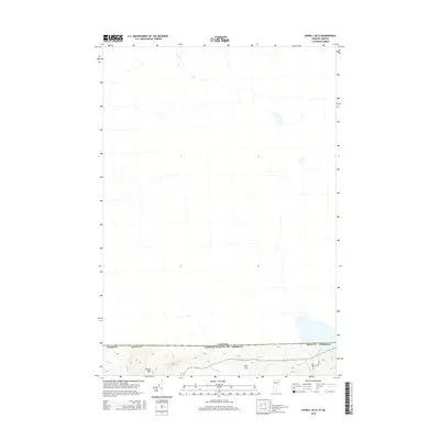
The international border between the Canada and the United States defines the lower portion of this topographic study, where the northern reaches of Vermont's Essex County meet the Canadian frontier. This high-altitude landscape is characterized by prominent peaks like Averill Mtn and Cole Hill, which rise above a network of drainages flowing toward the border. Local infrastructure is sparse, concentrated near the southern margin with Lake View Dr and Dubeau Rd providing access to the rugged terrain. The drainage pattern is defined by several significant waterways, including Averill Cr, Black Brook, Morrill Brook, and Leach Creek, all of which emphasize the remote, undeveloped character of this borderland region.
Find a feature on this map
12 named features on this map. Tap any name to fly to it.
Don’t see what you’re looking for? This feature index may not catch every label — zoom into the map to look around manually.
Map Details
Editions of this 2015 Averill OE N Map
This is the sole edition of this map. No revisions or reprints were ever made.
Other maps of this area

1924 · Island Pond
USGS Topo · 1:48,000

1926 · Island Pond
USGS Topo · 1:62,500

1929 · Averill
USGS Topo · 1:62,500

1949 · Jackman
USGS Topo · 1:250,000

1950 · Lewiston
USGS Topo · 1:250,000

1953 · Island Pond
USGS Topo · 1:62,500

1953 · Averill
USGS Topo · 1:62,500

1956 · Lewiston
USGS Topo · 1:250,000

1961 · Lewiston
USGS Topo · 1:250,000

1962 · Lewiston
USGS Topo · 1:250,000