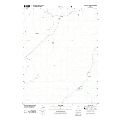
2011 Map of Avintaquin Canyon
USGS Topo · Published 2011About this map
Strawberry River flows across the northern reaches of this Duchesne County landscape, carving a path through a series of deep draws and hollows. The area is defined by its canyon systems, most notably Avintaquin Canyon and its associated waterway, Avintaquin Creek, which meanders through the eastern and southern portions of the territory. Isolated family outposts such as Remund Ranch, Baum Ranch, and Peatross Ranch represent the primary human imprint on this high-desert terrain, connected by rugged corridors like Timber Canyon Rd and Avintaquin Rd. The land rises toward prominent landmarks including Long Ridge and Timber Point, while secondary drainages like Poison Creek and Minnie Creek provide vital hydrology for the local ranching economy.
Find a feature on this map
24 named features on this map. Tap any name to fly to it.
Don’t see what you’re looking for? This feature index may not catch every label — zoom into the map to look around manually.
Map Details
Editions of this 2011 Avintaquin Canyon Map
This is the sole edition of this map. No revisions or reprints were ever made.
Other maps of this area

1885 · Uinta
USGS Topo · 1:250,000

1886 · Price River
USGS Topo · 1:250,000

1896 · Price River
USGS Topo · 1:250,000

1954 · Salt Lake City
USGS Topo · 1:250,000

1956 · Price
USGS Topo · 1:250,000

1958 · Salt Lake City
USGS Topo · 1:250,000

1960 · Salt Lake City
USGS Topo · 1:250,000

1960 · Price
USGS Topo · 1:250,000

1962 · Price
USGS Topo · 1:250,000

1962 · Deep Creek Canyon
USGS Topo · 1:24,000