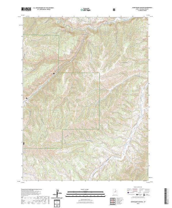
2023 Map of Avintaquin Canyon
USGS Topo · Published 2023About this map
The Ashley National Forest dominates this section of Duchesne County, where the high drainage divide separates the waters of the Strawberry River to the north from the deep incision of Avintaquin Canyon in the south. The terrain is a complex network of draws and ridges, featuring prominent landmarks like Timber Point and the expansive Wilbur Bench. Long-standing livestock and water routes are evident throughout the landscape, including the Cow Hollow Trl and Bull Hollow Trl, which navigate the steep descent into the canyons. Seasonal water sources such as Sagers Spring and the headwaters of Poison Creek define the survival geography of this high-elevation area. Modern access is provided by maintained forest routes like Strawberry Way and Timber Canyon Rd, tracing the same corridors used for generations to traverse this part of the Uinta Basin watershed.
Find a feature on this map
33 named features on this map. Tap any name to fly to it.
Don’t see what you’re looking for? This feature index may not catch every label — zoom into the map to look around manually.
Map Details
Editions of this 2023 Avintaquin Canyon Map
This is the sole edition of this map. No revisions or reprints were ever made.
Other maps of this area

1885 · Uinta
USGS Topo · 1:250,000

1886 · Price River
USGS Topo · 1:250,000

1896 · Price River
USGS Topo · 1:250,000

1954 · Salt Lake City
USGS Topo · 1:250,000

1956 · Price
USGS Topo · 1:250,000

1958 · Salt Lake City
USGS Topo · 1:250,000

1960 · Salt Lake City
USGS Topo · 1:250,000

1960 · Price
USGS Topo · 1:250,000

1962 · Price
USGS Topo · 1:250,000

1962 · Deep Creek Canyon
USGS Topo · 1:24,000