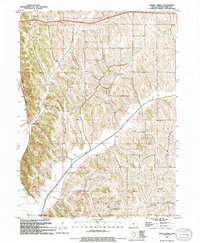
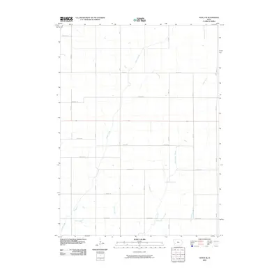
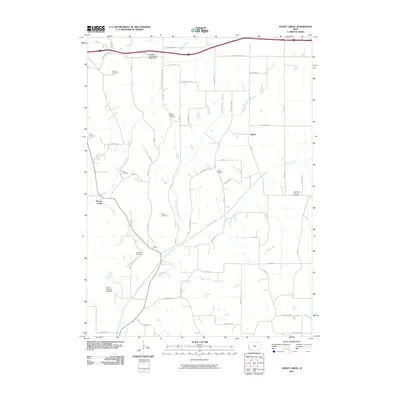
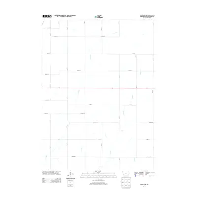
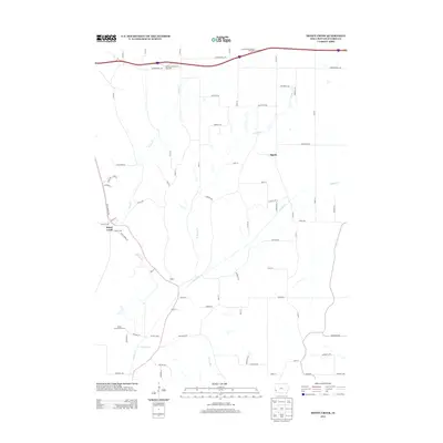
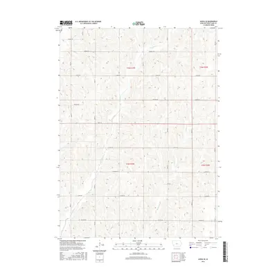
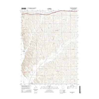
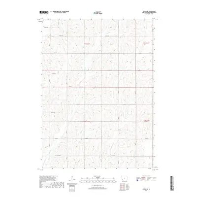
1963 Map of Avoca SE
USGS Topo · Published 1964About this map
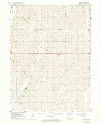
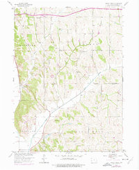
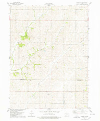
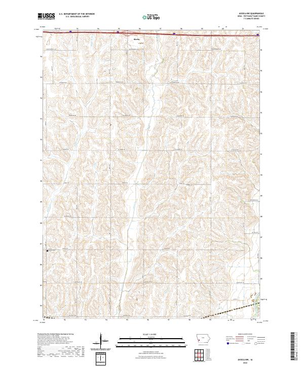
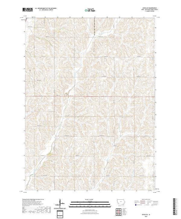
Graybill Creek winds through the rural landscape of Pottawattamie County, defining the drainage patterns of Valley and Center townships during the early 1960s. This agricultural terrain is characterized by a dense network of section-line roads and scattered farmsteads, reflecting the established mid-century rural economy of western Iowa. The map documents modern infrastructure of the era, including a Pumping Station and a Radio Tower located near the center of the quadrangle. Other prominent waterways including Jordan Creek and Farm Creek provide further geographical context for researchers tracing land use and family holdings in Lincoln and Wright townships.
Find a feature on this map
9 named features on this map. Tap any name to fly to it.
Don’t see what you’re looking for? This feature index may not catch every label — zoom into the map to look around manually.
Map Details
Editions of this 1963 Avoca SE Map
This is the sole edition of this map. No revisions or reprints were ever made.
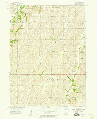
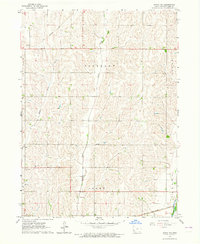
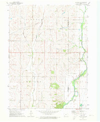
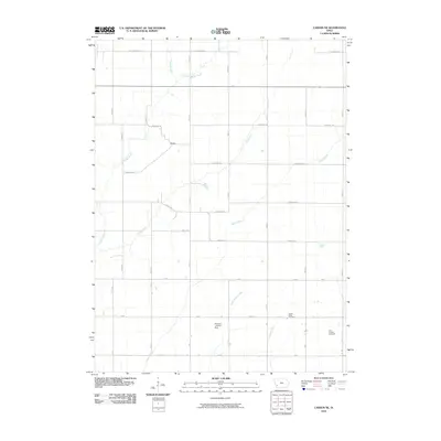
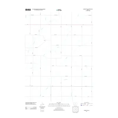
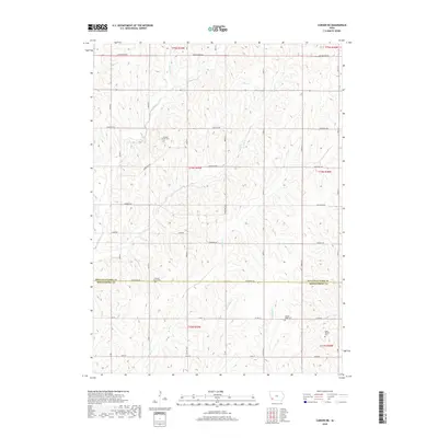
Historical Maps of Pottawattamie County Through Time
54 maps found
1956 Council Bluffs North
Pottawattamie County, IA
1956 Council Bluffs South
Pottawattamie County, IA
1956 Mc Clelland
Pottawattamie County, IA
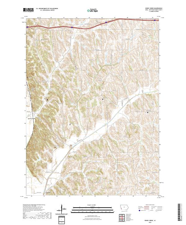
1957 Honey Creek
Pottawattamie County, IA
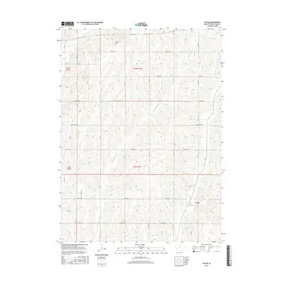
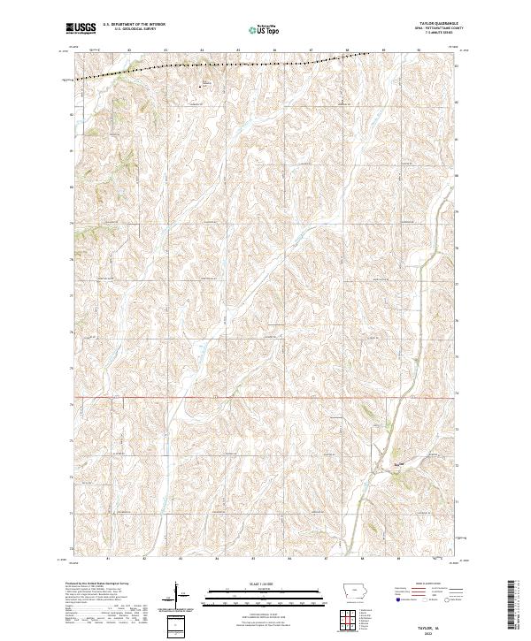
1957 Taylor
Pottawattamie County, IA
1963 Avoca NW
Pottawattamie County, IA
1963 Avoca SE
Pottawattamie County, IA
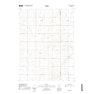
1971 Atlantic SW
Pottawattamie County, IA
1978 Carson NE
Pottawattamie County, IA
1994 Avoca NW
Pottawattamie County, IA
1994 Council Bluffs North
Pottawattamie County, IA
1994 Council Bluffs South
Pottawattamie County, IA
1994 Honey Creek
Pottawattamie County, IA
1994 Mc Clelland
Pottawattamie County, IA
2010 Atlantic SW
Pottawattamie County, IA
2010 Avoca NW
Pottawattamie County, IA
2010 Avoca SE
Pottawattamie County, IA
2010 Carson NE
Pottawattamie County, IA
2010 Council Bluffs North
Pottawattamie County, IA
2010 Council Bluffs South
Pottawattamie County, IA
2010 Honey Creek
Pottawattamie County, IA
2010 Taylor
Pottawattamie County, IA
2013 Atlantic SW
Pottawattamie County, IA
2013 Avoca NW
Pottawattamie County, IA
2013 Avoca SE
Pottawattamie County, IA
2013 Carson NE
Pottawattamie County, IA
2013 Council Bluffs North
Pottawattamie County, IA
2013 Council Bluffs South
Pottawattamie County, IA
2013 Honey Creek
Pottawattamie County, IA
2013 Taylor
Pottawattamie County, IA
2015 Atlantic SW
Pottawattamie County, IA
2015 Avoca NW
Pottawattamie County, IA
2015 Avoca SE
Pottawattamie County, IA
2015 Carson NE
Pottawattamie County, IA
2015 Council Bluffs North
Pottawattamie County, IA
2015 Council Bluffs South
Pottawattamie County, IA
2015 Honey Creek
Pottawattamie County, IA
2015 Taylor
Pottawattamie County, IA
2018 Atlantic SW
Pottawattamie County, IA
2018 Avoca NW
Pottawattamie County, IA
2018 Avoca SE
Pottawattamie County, IA
2018 Carson NE
Pottawattamie County, IA
2018 Council Bluffs North
Pottawattamie County, IA
2018 Council Bluffs South
Pottawattamie County, IA
2018 Honey Creek
Pottawattamie County, IA
2018 Taylor
Pottawattamie County, IA
2022 Atlantic SW
Pottawattamie County, IA
2022 Avoca NW
Pottawattamie County, IA
2022 Avoca SE
Pottawattamie County, IA
2022 Carson NE
Pottawattamie County, IA
2022 Council Bluffs North
Pottawattamie County, IA
2022 Council Bluffs South
Pottawattamie County, IA
2022 Honey Creek
Pottawattamie County, IA
2022 Taylor
Pottawattamie County, IA