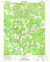
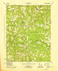
1968 Map of Aylett
USGS Topo · Published 1972About this map
The Mattaponi River serves as the central artery for this portion of the Virginia Middle Peninsula, defining the boundary between King William and King and Queen counties. The settlement of Aylett sits at a critical crossing point, where the river narrows and historic river-dependent commerce is evidenced by Aylett Mill and several named river access points including Old Hall Landing, Poplar Landing, and Pointers Landing.
Find a feature on this map
53 named features on this map. Tap any name to fly to it.
Don’t see what you’re looking for? This feature index may not catch every label — zoom into the map to look around manually.
Map Details
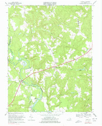
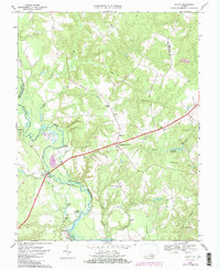
Editions of this 1968 Aylett Map
Other maps of this area

1918 · Tappahannock
USGS Topo · 1:62,500

1918 · Aylett
USGS Topo · 1:62,500

1919 · New Kent
USGS Topo · 1:62,500

1919 · Tappahannock
USGS Topo · 1:62,500

1920 · King William
USGS Topo · 1:62,500

1933 · Aylett
USGS Topo · 1:62,500

1943 · Richmond
USGS Topo · 1:250,000

1944 · Mount Landing
USGS Topo · 1:31,680
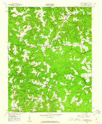
1944 · Howertons
USGS Topo · 1:24,000
1945 · Howertons
USGS Topo · 1:31,680