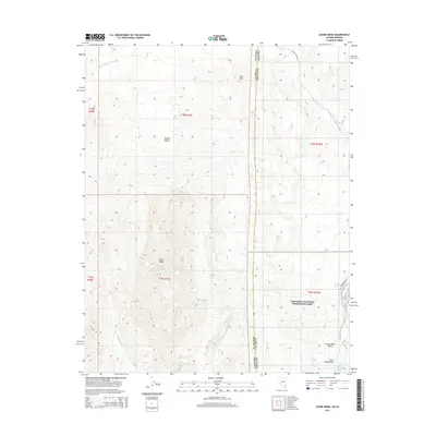
2014 Map of Azure Ridge
USGS Topo · Published 2014About this map
The Azure Ridge dominates this portion of the high Mojave Desert along the border of Nevada and Arizona. This arid landscape is defined by the sharp divide between Clark County and Mohave County, where the rocky terrain gives way to the eastern reaches of the Lake Mead National Recreation Area. Water sources are few but critical, represented by the presence of Burro Spring and seasonal drainages such as Horse Spring Wash and New Spring Wash. A notable geologic feature, the Lava Bed, sits in the northern section, signifying the volcanic history that shaped this desert environment.
Find a feature on this map
23 named features on this map. Tap any name to fly to it.
Don’t see what you’re looking for? This feature index may not catch every label — zoom into the map to look around manually.
Map Details
Editions of this 2014 Azure Ridge Map
This is the sole edition of this map. No revisions or reprints were ever made.
Other maps of this area

1886 · Saint Thomas
USGS Topo · 1:250,000

1886 · Mt. Trumbull
USGS Topo · 1:250,000

1892 · Mt. Trumbull
USGS Topo · 1:250,000

1893 · Saint Thomas
USGS Topo · 1:250,000

1926 · Bonelli
USGS Topo · 1:96,000

1953 · Iceberg Canyon
USGS Topo · 1:62,500

1953 · Gold Butte
USGS Topo · 1:62,500

1953 · Grand Canyon
USGS Topo · 1:250,000

1954 · Las Vegas
USGS Topo · 1:250,000

1957 · Las Vegas
USGS Topo · 1:250,000