2021 Map of Azusa
USGS Topo · Published 2021About this map
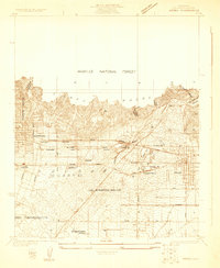
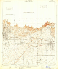
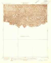
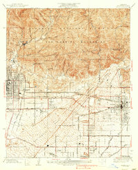
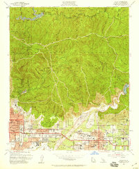
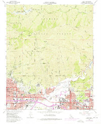
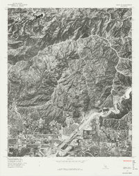
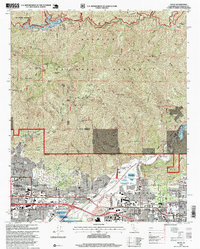
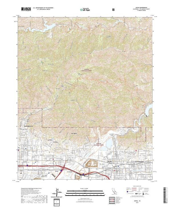
Angeles National Forest dominates the northern landscape, where the dramatic elevation change from the San Gabriel Valley floor creates a complex network of canyons and ridges. Modern infrastructure for water management is evident in the series of catchments including the Sawpit Debris Basin, Bradbury Debris Basin, and Ruby Canyon Debris Basin situated along the foothills. The urban corridor south of the mountains shows the established footprints of Azusa, Glendora, Duarte, and Monrovia, connected by major thoroughfares like W Foothill Blvd. Educational institutions such as Azusa Pacific University and Citrus College form significant landmarks within the valley. In the high country, isolated locations like Stone Cabin Flat and White Saddle mark points along the Silver Fish Trl and West Fork National Recreation Trl, highlighting the proximity of wilderness to these dense residential centers.
Find a feature on this map
162 named features on this map. Tap any name to fly to it.
Don’t see what you’re looking for? This feature index may not catch every label — zoom into the map to look around manually.
Map Details
Editions of this 2021 Azusa Map
This is the sole edition of this map. No revisions or reprints were ever made.
Historical Maps of Monrovia Through Time
9 maps found