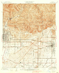
1939 Map of Azusa
USGS Topo · Published 1939About this map
The San Gabriel River emerges from the steep canyons of the San Gabriel Mountains into a landscape defined by intensive agricultural and industrial growth in the late 1930s. The region is bisected by the San Bernardino Base Line, with the foothill communities of Monrovia, Duarte, and Azusa serving as hubs for both residence and transit. A complex grid of transportation infrastructure dominates the valley floor, including the Southern Pacific Railroad and the Pacific Electric Railway. Specialized medical facilities such as the Canyon Tuberculosis Preventatorium and a Sanatorium are situated along the base of the mountains, taking advantage of the elevation. The southern reach of the map shows the emerging industrial character of Irwindale and the residential expansion around Margaret Heath School, set against the sprawling washes of Little Big Dalton Wash and Sawpit Wash.
Find a feature on this map
61 named features on this map. Tap any name to fly to it.
Don’t see what you’re looking for? This feature index may not catch every label — zoom into the map to look around manually.
Map Details
Editions of this 1939 Azusa Map
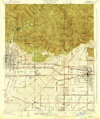
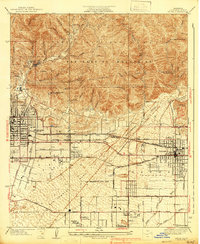
3 editions found
Other maps of this area

1894 · Los Angeles
USGS Topo · 1:62,500

1894 · Pomona
USGS Topo · 1:62,500

1896 · Pasadena
USGS Topo · 1:62,500

1897 · Pomona
USGS Topo · 1:62,500

1898 · Pomona
USGS Topo · 1:62,500

1900 · Pasadena
USGS Topo · 1:62,500

1900 · Los Angeles
USGS Topo · 1:62,500

1901 · Southern California Sheet No. 1
USGS Topo · 1:250,000

1904 · Pomona
USGS Topo · 1:62,500

1904 · Southern California Sheet No. 1
USGS Topo · 1:250,000