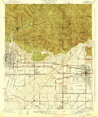
1939 Map of Azusa
USGS Topo · Published 1939About this map
The San Gabriel Mountains dominate the northern landscape of this 1930s survey, rising sharply above the alluvial plains of the San Gabriel River and Sawpit Wash. This era shows a distinctive concentration of health facilities at the mountain base, including the Canyon Tuberculosis Preventatorium and multiple sanitariums near Duarte. The transition from the Angeles National Forest wilderness to the urbanizing corridor is marked by recreational landmarks like Monrovia Mtn Park and the South Pasadena Veterans Camp.
Find a feature on this map
60 named features on this map. Tap any name to fly to it.
Don’t see what you’re looking for? This feature index may not catch every label — zoom into the map to look around manually.
Map Details
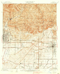
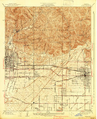
Editions of this 1939 Azusa Map
3 editions found
Other maps of this area

1894 · Los Angeles
USGS Topo · 1:62,500

1894 · Pomona
USGS Topo · 1:62,500

1896 · Pasadena
USGS Topo · 1:62,500

1897 · Pomona
USGS Topo · 1:62,500

1898 · Pomona
USGS Topo · 1:62,500

1900 · Pasadena
USGS Topo · 1:62,500

1900 · Los Angeles
USGS Topo · 1:62,500

1901 · Southern California Sheet No. 1
USGS Topo · 1:250,000

1904 · Pomona
USGS Topo · 1:62,500

1904 · Southern California Sheet No. 1
USGS Topo · 1:250,000