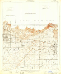
1928 Map of Azusa
USGS Topo · Published 1932About this map
Monrovia and Azusa anchor this 1920s landscape at the foot of the Angeles National Forest. The map illustrates a transitional period of agricultural and early suburban expansion, where the San Gabriel River and its various washes like Sawpit Wash and Dalton Wash dictate the layout of the land. Industrial activity is evident near the river through multiple Gravel Pit sites, while the presence of the Jewish Sanitarium and Liveoak Cemetery provides valuable data for local history and genealogical research. The region's dependence on rail is clear, with the Atchison Topeka and Santa Fe and Southern Pacific lines cutting across the valley, connecting settlements like Duarte and Irwindale to the broader San Gabriel Valley economy.
Find a feature on this map
34 named features on this map. Tap any name to fly to it.
Don’t see what you’re looking for? This feature index may not catch every label — zoom into the map to look around manually.
Map Details
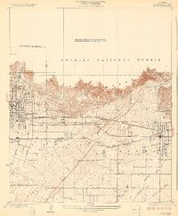
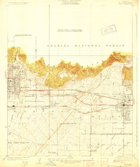
Editions of this 1928 Azusa Map
3 editions found
Other maps of this area

1894 · Los Angeles
USGS Topo · 1:62,500

1894 · Pomona
USGS Topo · 1:62,500

1896 · Pasadena
USGS Topo · 1:62,500

1897 · Pomona
USGS Topo · 1:62,500

1898 · Pomona
USGS Topo · 1:62,500

1900 · Pasadena
USGS Topo · 1:62,500

1900 · Los Angeles
USGS Topo · 1:62,500

1901 · Southern California Sheet No. 1
USGS Topo · 1:250,000

1904 · Pomona
USGS Topo · 1:62,500

1904 · Southern California Sheet No. 1
USGS Topo · 1:250,000