2000 Map of Babeldaob North
USGS Topo · Published 2004About this map
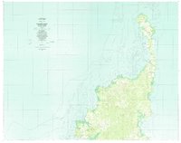
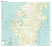
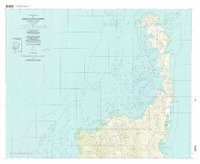
Ngerchelong and Ngaraard municipalities occupy the northern reaches of Babeldaob Island in this detailed survey based on imagery from the turn of the millennium. The landscape is defined by its complex shoreline, where the Philippine Sea meets the Pacific Ocean across narrow peninsulas. High points like Meteolchol look down upon coastal villages and traditional settlements including Ollei and Mengellang. The map reflects a community integrated with its maritime environment, showing coral reefs and named passages such as Iuengruil and Olkong. To the south, the Ngaremeduu Conservation Area protects the diverse ecology of the estuaries and mangroves. Inland, local institutions appear at the heart of village life, including the Bethany church and educational sites like Ngaraard Sch and Chat Sch.
Find a feature on this map
84 named features on this map. Tap any name to fly to it.
Don’t see what you’re looking for? This feature index may not catch every label — zoom into the map to look around manually.
Map Details
Editions of this 2000 Babeldaob North Map
This is the sole edition of this map. No revisions or reprints were ever made.