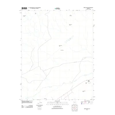
2011 Map of Baby Rocks
USGS Topo · Published 2011About this map
The settlement of Baby Rocks serves as a small anchor in this high-desert landscape of Navajo County, dominated by the sharp geological formations of Comb Ridge. The terrain is defined by its dramatic natural landmarks, including sandstone features like Ruin Arch, Hoola Hey Arch, and the deep recesses of Double Arch Canyon. These formations give way to the broad Little Capitan Valley and the elevated Baby Rocks Mesa, highlighting a region where human passage is largely dictated by the environment.
Find a feature on this map
14 named features on this map. Tap any name to fly to it.
Don’t see what you’re looking for? This feature index may not catch every label — zoom into the map to look around manually.
Map Details
Editions of this 2011 Baby Rocks Map
This is the sole edition of this map. No revisions or reprints were ever made.
Other maps of this area

1883 · Marsh Pass
USGS Topo · 1:250,000

1892 · Marsh Pass
USGS Topo · 1:250,000

1892 · Canyon De Chelly
USGS Topo · 1:250,000

1952 · Agathla Peak 1 NW
USGS Topo · 1:24,000

1952 · Dinnehotso
USGS Topo · 1:62,500

1952 · Agathla Peak 1 NE
USGS Topo · 1:24,000

1952 · Agathla Peak 1 SE
USGS Topo · 1:24,000

1952 · Setsiltso Springs 2 NW
USGS Topo · 1:24,000

1952 · Setsiltso Springs 2 SW
USGS Topo · 1:24,000

1952 · Agathla Peak
USGS Topo · 1:62,500