
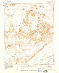
1952 Map of Agathla Peak
USGS Topo · Published 1954About this map
Navajo Indian Reservation lands dominate this mid-century survey, revealing a landscape defined by iconic sandstone formations and archaeological sites. The terrain is marked by the presence of numerous ancestral habitations, including the Pueblo Site, several instances of Cliff Dwelling, and the intriguing House-of-Hands (Cave). These cultural sites are interspersed among the famous spires of Monument Valley, where West Mitten Butte, East Mitten Butte, and the Totem Pole stand as prominent landmarks.
Find a feature on this map
63 named features on this map. Tap any name to fly to it.
Don’t see what you’re looking for? This feature index may not catch every label — zoom into the map to look around manually.
Map Details
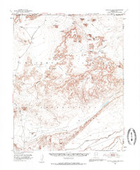
Editions of this 1952 Agathla Peak Map
3 editions found
Other maps of this area

1883 · Marsh Pass
USGS Topo · 1:250,000

1886 · Henry Mountains
USGS Topo · 1:250,000

1886 · Abajo
USGS Topo · 1:250,000

1892 · Marsh Pass
USGS Topo · 1:250,000

1892 · Abajo
USGS Topo · 1:250,000

1892 · Henry Mountains
USGS Topo · 1:250,000

1892 · Canyon De Chelly
USGS Topo · 1:250,000

1893 · Abajo
USGS Topo · 1:250,000

1952 · Clay Hills 4 SW
USGS Topo · 1:24,000

1952 · Clay Hills 3 SE
USGS Topo · 1:24,000