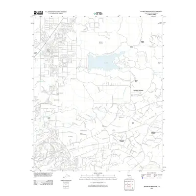
2012 Map of Bachelor Mountain
USGS Topo · Published 2012About this map
Skinner Reservoir dominates the center of this landscape, surrounded by the Lake Skinner Recreation Area and various residential developments. This era shows a transition from traditional agricultural land to more concentrated residential and viticultural uses, notably south of Auld Valley. The southern portion of the map is defined by a growing vineyard economy, featuring Temecula Valley Vineyards, Mesa Verde Winery, and Britton Cellars Winery.
Find a feature on this map
39 named features on this map. Tap any name to fly to it.
Don’t see what you’re looking for? This feature index may not catch every label — zoom into the map to look around manually.
Map Details
Editions of this 2012 Bachelor Mountain Map
This is the sole edition of this map. No revisions or reprints were ever made.
Other maps of this area

1901 · Southern California Sheet No. 1
USGS Topo · 1:250,000

1901 · San Jacinto
USGS Topo · 1:125,000

1901 · Elsinore
USGS Topo · 1:125,000

1901 · San Luis Rey
USGS Topo · 1:125,000

1903 · Ramona
USGS Topo · 1:125,000

1904 · Southern California Sheet No. 2
USGS Topo · 1:250,000

1904 · Southern California Sheet No. 1
USGS Topo · 1:250,000

1939 · Palomar Mountain
USGS Topo · 1:62,500

1942 · Temecula
USGS Topo · 1:62,500

1942 · Hemet
USGS Topo · 1:62,500