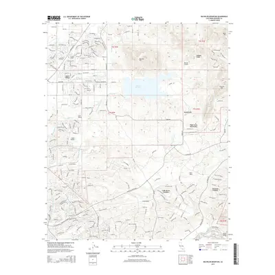
2015 Map of Bachelor Mountain
USGS Topo · Published 2015About this map
Skinner Reservoir sits at the heart of this Riverside County landscape, surrounded by the foothills of Bachelor Mtn and the Tucalota Hills. The map documents a period of significant suburban expansion and residential development in the Murrieta area, evidenced by the dense network of streets in French Valley and the smaller enclave of Dutch Village. These modern settlements contrast with the surrounding agricultural and open spaces of Auld Valley and Long Valley.
Find a feature on this map
200 named features on this map. Tap any name to fly to it.
Don’t see what you’re looking for? This feature index may not catch every label — zoom into the map to look around manually.
Map Details
Editions of this 2015 Bachelor Mountain Map
This is the sole edition of this map. No revisions or reprints were ever made.
Other maps of this area

1901 · Southern California Sheet No. 1
USGS Topo · 1:250,000

1901 · San Jacinto
USGS Topo · 1:125,000

1901 · Elsinore
USGS Topo · 1:125,000

1901 · San Luis Rey
USGS Topo · 1:125,000

1903 · Ramona
USGS Topo · 1:125,000

1904 · Southern California Sheet No. 2
USGS Topo · 1:250,000

1904 · Southern California Sheet No. 1
USGS Topo · 1:250,000

1939 · Palomar Mountain
USGS Topo · 1:62,500

1942 · Temecula
USGS Topo · 1:62,500

1942 · Hemet
USGS Topo · 1:62,500