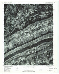
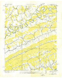
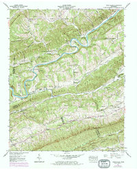
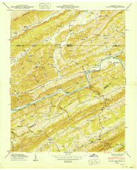
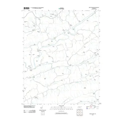
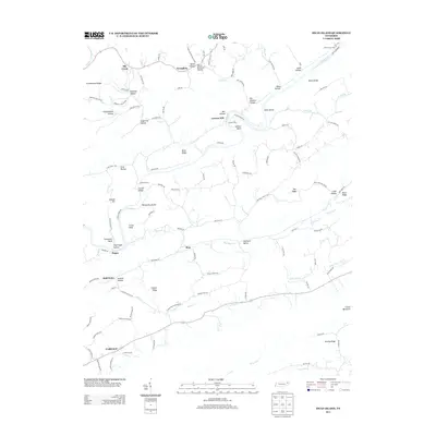
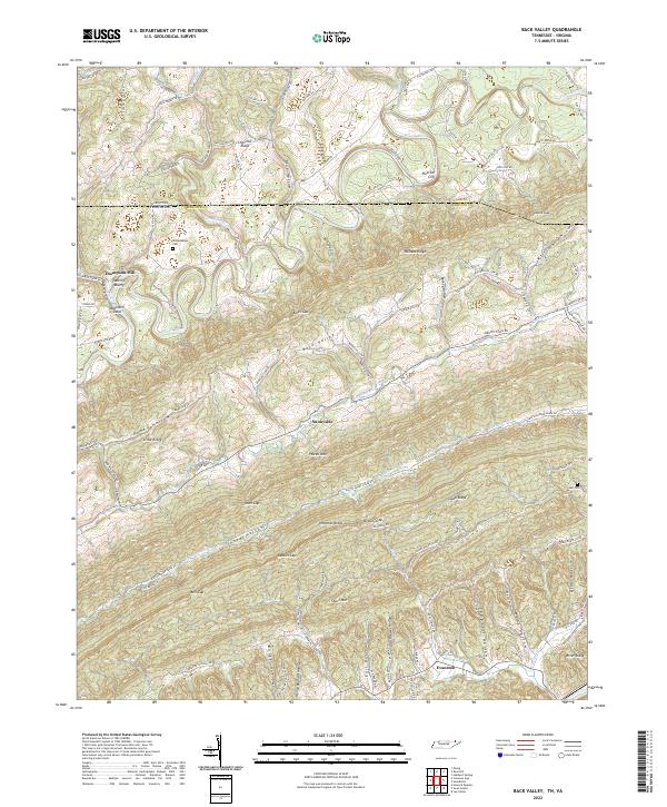
1976 Map of Back Valley
USGS Topo · Published 1981About this map
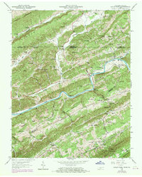
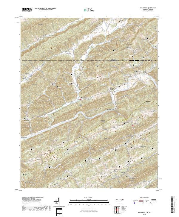
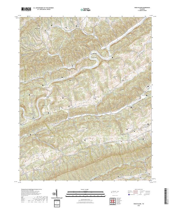
Back Valley runs through this portion of Hancock County in the mid-1970s, defined by a series of prominent ridgelines and deep river bends. The Powell River dominates the northern sector, winding through tight loops as it cuts through the Appalachian topography. Near the southern border, the settlement of Evanston is situated along Clinch R, showing the rural development patterns characteristic of this border region between Tennessee and Virginia.
Find a feature on this map
12 named features on this map. Tap any name to fly to it.
Don’t see what you’re looking for? This feature index may not catch every label — zoom into the map to look around manually.
Map Details
Editions of this 1976 Back Valley Map
This is the sole edition of this map. No revisions or reprints were ever made.
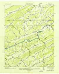
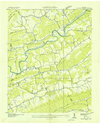
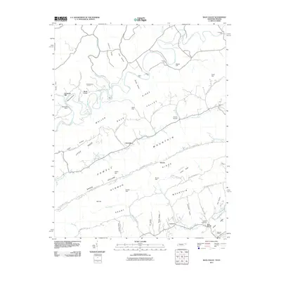
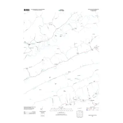
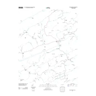
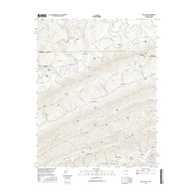
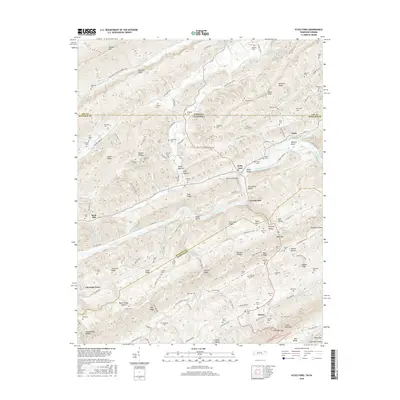
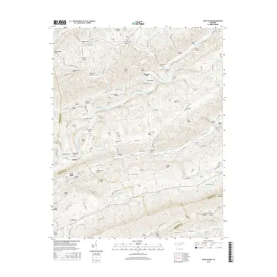
Historical Maps of Ramsey Through Time
26 maps found
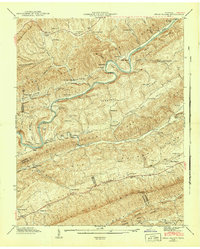
1935 Back Valley
Hancock County, TN
1935 Kyles Ford
Hancock County, TN
1935 Swan Island
Hancock County, TN
1941 Swan Island
Hancock County, TN
1942 Swan Island
Hancock County, TN
1946 Back Valley
Hancock County, TN
1948 Back Valley
Hancock County, TN
1950 Kyles Ford
Hancock County, TN
1969 Kyles Ford
Hancock County, TN
1976 Back Valley
Hancock County, TN
1976 Kyles Ford
Hancock County, TN
2010 Kyles Ford
Hancock County, TN
2010 Swan Island
Hancock County, TN
2011 Back Valley
Hancock County, TN
2013 Back Valley
Hancock County, TN
2013 Kyles Ford
Hancock County, TN
2013 Swan Island
Hancock County, TN
2016 Back Valley
Hancock County, TN
2016 Kyles Ford
Hancock County, TN
2016 Swan Island
Hancock County, TN
2019 Back Valley
Hancock County, TN
2019 Kyles Ford
Hancock County, TN
2019 Swan Island
Hancock County, TN
2022 Back Valley
Hancock County, TN
2022 Kyles Ford
Hancock County, TN
2022 Swan Island
Hancock County, TN